Yegindybulak
Yegindybulak (Kazakh: Егіндібұлақ, Egindibulaq) is a settlement in the Karaganda Region in Kazakhstan.[1] Located on dry steppe, it is a former tertiary level administrative centre.[1] The terrain to the north of the town is mountainous.[2]
Yegindybulak | |
|---|---|
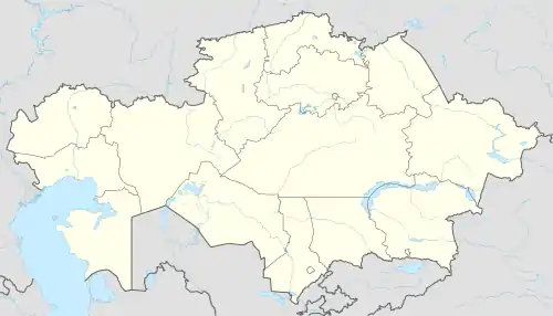 Yegindybulak Location in Kazakhstan | |
| Coordinates: 49.48°N 76.23°E | |
| Country | Kazakhstan |
| Region | Karaganda Region |
| Population | |
| • Total | 5,000 – 10,000 |
| Time zone | UTC+6 (UTC +6) |
| Area code(s) | 7 72147 |
The population of between five and ten thousand people[3] are predominantly Muslim Kazakhs.
Alternative transliterations of the name include Egindibulaq,[2] Egindybulak,[3] and Yegendybulak.[4] Nearby settlements include Karabulak (west southwest), Terekti (northwest), Osibay (northeast), and Kiikqashqan and Dogalan (southeast).[2]
The Koyandinsk Fair, a large annual trade fair held every June from 1848 to 1930, was located near modern day Yegindybulak on the caravan route from Central Asia to Siberia.[5]
References
- Saul Bernard Cohen (2008). The Columbia Gazetteer of the World: P to Z. Columbia University Press. ISBN 978-0-231-14554-1. Retrieved 1 September 2012.
- "Map of Egindibulaq". TopoMapper. Atlogis. Retrieved 13 September 2012.
- "Yegindybulak, Karagandinskaya Oblast', Kazakhstan". Collins Maps. 2011. Retrieved 1 September 2012.
- The Times Atlas of the World (Comprehensive Edition). London: Times Books. 1992. p. 43. ISBN 0723004927.
- Central Asian review. Published by the Central Asian Research Centre in association with the Soviet Affairs Study Group, St. Antony's College, Oxford. 1 January 1962. Retrieved 8 August 2010.
External links
- БЕК КАРИПБЕК (4 April 2012). "Views around Yegindybulak". YouTube. Retrieved 1 September 2012.
This article is issued from Wikipedia. The text is licensed under Creative Commons - Attribution - Sharealike. Additional terms may apply for the media files.