Al-Maniya
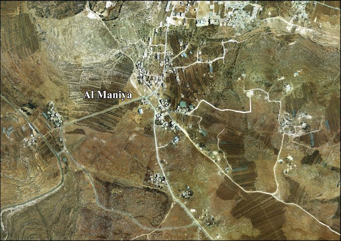
Al-Maniya (Arabic: المانیا, also spelled al-Minya) is a Palestinian village in the Bethlehem Governorate in the central West Bank, 8.6 km southeast of Bethlehem and just south of Tuqu'. It incorporates the nearby hamlet of Wadi Muhammad within its jurisdiction. Most of the village, including much of its built-up area, is in Area C, giving the Israeli military full control over the village. It had a population of 1,012 in the 2007 census by the Palestinian Central Bureau of Statistics.[1]
Al-Maniya | |
|---|---|
| Arabic transcription(s) | |
| • Arabic | المانیا |
| • Latin | al-Minya (official) |
| State | State of Palestine |
| Governorate | Bethlehem |
| Government | |
| • Type | Village council |
| Area | |
| • Total | 8,908 dunams (8.9 km2 or 3.4 sq mi) |
| Population (2007[1]) | |
| • Total | 1,012 |
| • Density | 110/km2 (290/sq mi) |
| Name meaning | Kh. el Minyeh: the ruin of el Minyeh[2] |
History
The village was founded by immigrants from the southern town of Sa'ir near Hebron. According to local legend, its name derives from a cave in the vicinity that inhabited by a Byzantine-era queen named "Maniya." There is one mosque, the Palestine Mosque, in the village.[3]
French explorer Victor Guérin passed by the place in 1863, and described it as having ruins "of little importance."[4] In 1883, PEF's Survey of Western Palestine, it was described as having "foundations and ruined walls, with one or two caves, which are inhabited."[5]
In 1996, the Palestinian National Authority (PNA) established a seven-member village council to administer al-Maniya. The council members are appointed by the PNA. Principal families include al-Jabarin, al-Frookh, al-Kawazba, at-Tarwa and ash-Shalalda.[3]
References
- 2007 PCBS Census. Palestinian Central Bureau of Statistics. p.117.
- from Minyeh, a personal name, according to Palmer, 1881, p. 401
- Al-Maniya Village Profile. Applied Research Institute-Jerusalem. August 2010.
- Guérin 1869, p. 149
- Conder and Kitchener, 1883, SWP III, p. 359
Bibliography
- Conder, C.R.; Kitchener, H. H. (1883). The Survey of Western Palestine: Memoirs of the Topography, Orography, Hydrography, and Archaeology. 3. London: Committee of the Palestine Exploration Fund.
- Guérin, V. (1869). Description Géographique Historique et Archéologique de la Palestine (in French). 1: Judee, pt. 3. Paris: L'Imprimerie Nationale.
- Palmer, E. H. (1881). The Survey of Western Palestine: Arabic and English Name Lists Collected During the Survey by Lieutenants Conder and Kitchener, R. E. Transliterated and Explained by E.H. Palmer. Committee of the Palestine Exploration Fund.
External links
- Welcome to Kh. al-Minya
- Survey of Western Palestine, Map 21: IAA, Wikimedia commons
- Al Maniya village (fact sheet), Applied Research Institute–Jerusalem (ARIJ)
- Al Maniya Village Profile, ARIJ
- Al Maniya, aerial photo, ARIJ
- The priorities and needs for development in Al Maniya village based on the community and local authorities’ assessment, ARIJ
| Cities |  | |
|---|---|---|
| Municipalities | ||
| Villages |
| |
| Religion | ||
| Refugee camps | ||
| Other | ||
