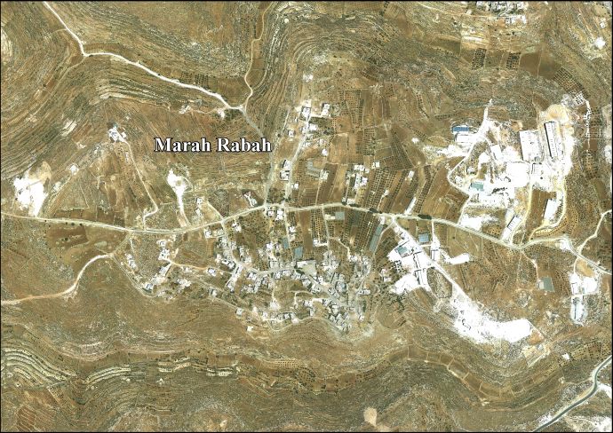
Marah Rabah
Marah Rabah is a Palestinian village located twelve kilometers south of Bethlehem. The village is in the Bethlehem Governorate central West Bank. According to the Palestinian Central Bureau of Statistics, the town had a population of over 1,320 in 2007.[1] The primary healthcare is obtained in Tuqu', where the Ministry of Health denotes the healthcare facilities as level 2.[2]
Marah Rabah | |
|---|---|
| Arabic transcription(s) | |
 Marah Rabah Location of Marah Rabah within Palestine | |
| Coordinates: 31°38′06″N 35°11′19″E | |
| State | State of Palestine |
| Governorate | Bethlehem |
| Government | |
| • Type | Municipality |
| Population (2007) | |
| • Total | 1,320 |
History
British Mandate era
In the 1931 census the population of Marah Rabah was counted together with Beit Fajjar, Marah Ma'alla and Umm Salamuna. The total population was 1,043, all Muslims, living in 258 houses.[3]
Jordanian era
In the wake of the 1948 Arab–Israeli War, and after the 1949 Armistice Agreements, Marah Rabah came under Jordanian rule. In 1961, the population of Murah Rabah was 198.[4]
Post 1967
Since the Six-Day War in 1967, Marah Rabah has been held under Israeli occupation.
Footnotes
- 2007 PCBS Census Archived 2010-12-10 at the Wayback Machine Palestinian Central Bureau of Statistics. p.118.
- West Bank Healthcare facilities Archived 2006-03-13 at the Library of Congress Web Archives
- Mills, 1932, p. 35
- Government of Jordan, Department of Statistics, 1964, p. 23
Bibliography
- Government of Jordan, Department of Statistics (1964). First Census of Population and Housing. Volume I: Final Tables; General Characteristics of the Population (PDF).
- Mills, E., ed. (1932). Census of Palestine 1931. Population of Villages, Towns and Administrative Areas. Jerusalem: Government of Palestine.
External links
- Marah Rabah village (fact sheet), Applied Research Institute–Jerusalem, ARIJ
- Marah Rabah village profile, ARIJ(See talk: maps are wrong)
- Marah Rabah aerial photo, ARIJ
- The priorities and needs for development in Marah Rabah village based on the community and local authorities' assessment, ARIJ
| Cities |  | |
|---|---|---|
| Municipalities | ||
| Villages |
| |
| Religion | ||
| Refugee camps | ||
| Other | ||