Al Hamra, Oman
Al Hamra (Arabic: ٱلْحَمْرَاء, romanized: Al-Ḥamrāʾ) is a 400-year-old town in the region Ad Dakhiliyah, in northeastern Oman.[1] As a province (wilayat), it is home to a number of villages including the mountainside village of Misfat Al Abryeen, with the village of Ghul to the northwest of the town, and Bimah to the north-northeast.[2] The town and province lie on the southern slopes of the Akhdar Mountains.[3]
Al Hamra
ٱلْحَمْرَاء (in Arabic) | |
|---|---|
Town | |
.jpg.webp) Al-Hamra sunset, with the Central Hajar Mountains in the background | |
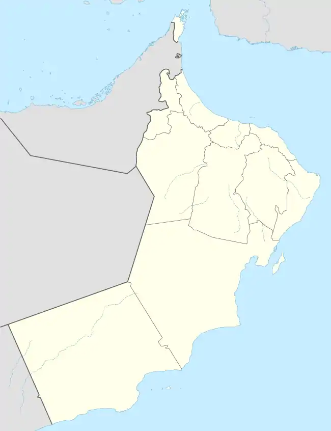 Al Hamra Location in Oman | |
| Coordinates: 23°07′00″N 57°17′35″E | |
| Country | |
| Governorate | Ad Dakhiliyah Region |
| Time zone | UTC+4 (+4) |
Al Hamra is also known as Hamra Al Abryeen with reference to the Al Abri tribe who live there. Near the center of the town is a plaza[4] and the souq. Some of the oldest preserved houses in Oman can be found in Al Hamra, a town built on a tilted rock slab. Many of the houses have two, three and even four stories,[4] with ceilings made of palm beams and fronds topped by mud and straw. Visitors to the nearby souq can watch a halwa maker at work in the only halwa shop still operating in the old souq.
Mount Shams (the sun mountain), the highest mountain in Oman, sits northeast of the town of Al Hamra. Al Hoota Cave is located at the foot of Mount Shams. It is one of the largest cave systems in the world.
Climate
| Climate data for Al Hamra | |||||||||||||
|---|---|---|---|---|---|---|---|---|---|---|---|---|---|
| Month | Jan | Feb | Mar | Apr | May | Jun | Jul | Aug | Sep | Oct | Nov | Dec | Year |
| Average high °C (°F) | 21.7 (71.1) |
22.3 (72.1) |
25.6 (78.1) |
30.7 (87.3) |
34.8 (94.6) |
36.4 (97.5) |
34.7 (94.5) |
33.4 (92.1) |
32.4 (90.3) |
30.3 (86.5) |
26.0 (78.8) |
22.8 (73.0) |
29.3 (84.7) |
| Average low °C (°F) | 11.9 (53.4) |
13.1 (55.6) |
16.2 (61.2) |
19.9 (67.8) |
23.7 (74.7) |
25.6 (78.1) |
25.4 (77.7) |
24.4 (75.9) |
22.7 (72.9) |
19.5 (67.1) |
15.3 (59.5) |
13.2 (55.8) |
19.2 (66.6) |
| Average precipitation mm (inches) | 7 (0.3) |
34 (1.3) |
23 (0.9) |
13 (0.5) |
6 (0.2) |
3 (0.1) |
5 (0.2) |
8 (0.3) |
3 (0.1) |
0 (0) |
5 (0.2) |
7 (0.3) |
114 (4.5) |
| Source: Climate-data.org | |||||||||||||
References
- Al Ḩamrā’ (Approved - N) at GEOnet Names Server, United States National Geospatial-Intelligence Agency
- Bīmah (Approved - N) at GEOnet Names Server, United States National Geospatial-Intelligence Agency
- Stannard, Dorothy, ed. (1998). Insight Guide Oman & the UAE (first ed.). Singapore: APA Publications. p. 144. ISBN 978-962-421-418-5.
- Stannard 1998, p. 160
External links
| Wikimedia Commons has media related to Al Hamra (Oman). |
Capital: Nizwa | ||
| Wilayah | ||
| Towns and villages | ||