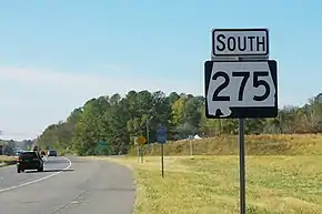
Alabama State Route 275
State Route 275 (SR 275) is a 8.250-mile (13.277 km) numbered state highway in Alabama. The route is a western and northern bypass route of Talladega. Commissioned in 1990, SR 275 is the second incarnation of what was originally the designation for the entire Little River Canyon Rim Parkway.
| ||||
|---|---|---|---|---|
| Route information | ||||
| Maintained by ALDOT | ||||
| Length | 8.250 mi[1] (13.277 km) | |||
| Existed | 1990–present | |||
| Major junctions | ||||
| South end | ||||
| North end | ||||
| Location | ||||
| Counties | Talladega | |||
| Highway system | ||||
| ||||

Route description
SR 275 begins at SR 21, which is a four-lane expressway southeast of Talladega. Northbound SR 21 traffic must turn at SR 275 if they wish to stay on SR 21. Just north of the intersection, SR 275 becomes a two-lane road. Passing through lightly forested areas, SR 275 bypasses Talladega to the west and then curves to the northeast. Near an intersection with SR 77, SR 275 becomes a four-lane, divided highway and remains so until it ends at SR 21 northeast of Talladega. At this intersection, similar to SR 275's southern terminus, southbound SR 21 traffic must turn left in order to stay on SR 21.
Major intersections
The entire route is in Talladega, Talladega County.
| mi[1] | km | Destinations | Notes | ||
|---|---|---|---|---|---|
| 0.000 | 0.000 | Southern terminus | |||
| 3.495 | 5.625 | ||||
| 8.250 | 13.277 | Northern terminus | |||
| 1.000 mi = 1.609 km; 1.000 km = 0.621 mi | |||||
References
- Alabama Department of Transportation. "Milepost Maps" (PDF). Archived from the original (PDF) on March 4, 2016. Retrieved January 15, 2016.