Alfundão
Alfundão is a former civil parish in the municipality of Ferreira do Alentejo, Portugal. In 2013, the parish merged into the new parish Alfundão e Peroguarda.[1]
Alfundão | |
|---|---|
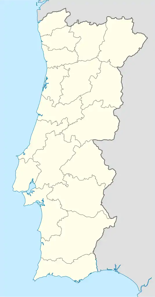 Alfundão Location in Portugal | |
| Coordinates: 38°7′10″N 8°3′44″W | |
| Country | |
| Region | Alentejo |
| Intermunic. comm. | Baixo Alentejo |
| District | Beja |
| Municipality | Ferreira do Alentejo |
| Area | |
| • Total | 51.90 km2 (20.04 sq mi) |
| Population (2001) | |
| • Total | 998 |
| • Density | 19/km2 (50/sq mi) |
| Time zone | UTC±00:00 (WET) |
| • Summer (DST) | UTC+01:00 (WEST) |
| Postal code | 7900 |
| Website | www |
Alfundão has an area of 51.96 km² and 863 inhabitants (2011). Its population density was 16.6 inhab / km². At the eastern end of Ferreira do Alentejo, Alfundão delimits this municipality from those of Cuba and Beja.
It was the seat of an extinct parish in 2013, as part of a national administrative reform, to form, together with Peroguarda, a new parish called União das Freguesia de Alfundão and Peroguarda of which it is the headquarters.[2]
References
- Diário da República. "Law nr. 11-A/2013, page 552 49" (pdf) (in Portuguese). Retrieved 22 July 2014.
- "Statistics Portugal - Web Portal". www.ine.pt. Retrieved 2020-10-06.
This article is issued from Wikipedia. The text is licensed under Creative Commons - Attribution - Sharealike. Additional terms may apply for the media files.