Alga, Kazakhstan
Alga (Kazakh: Алға, Alǵa) is a town in the Aktobe Region of western Kazakhstan. It is situated on the western bank of the Ilek (Jelek) River, and on the railway line from Aktobe to Aralsk. Population: 19,705 (2009 Census results);[1] 15,372 (1999 Census results).[1]
Alga | |
|---|---|
town | |
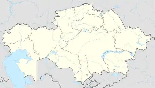 Alga Location in Aktobe Province, Kazakhstan 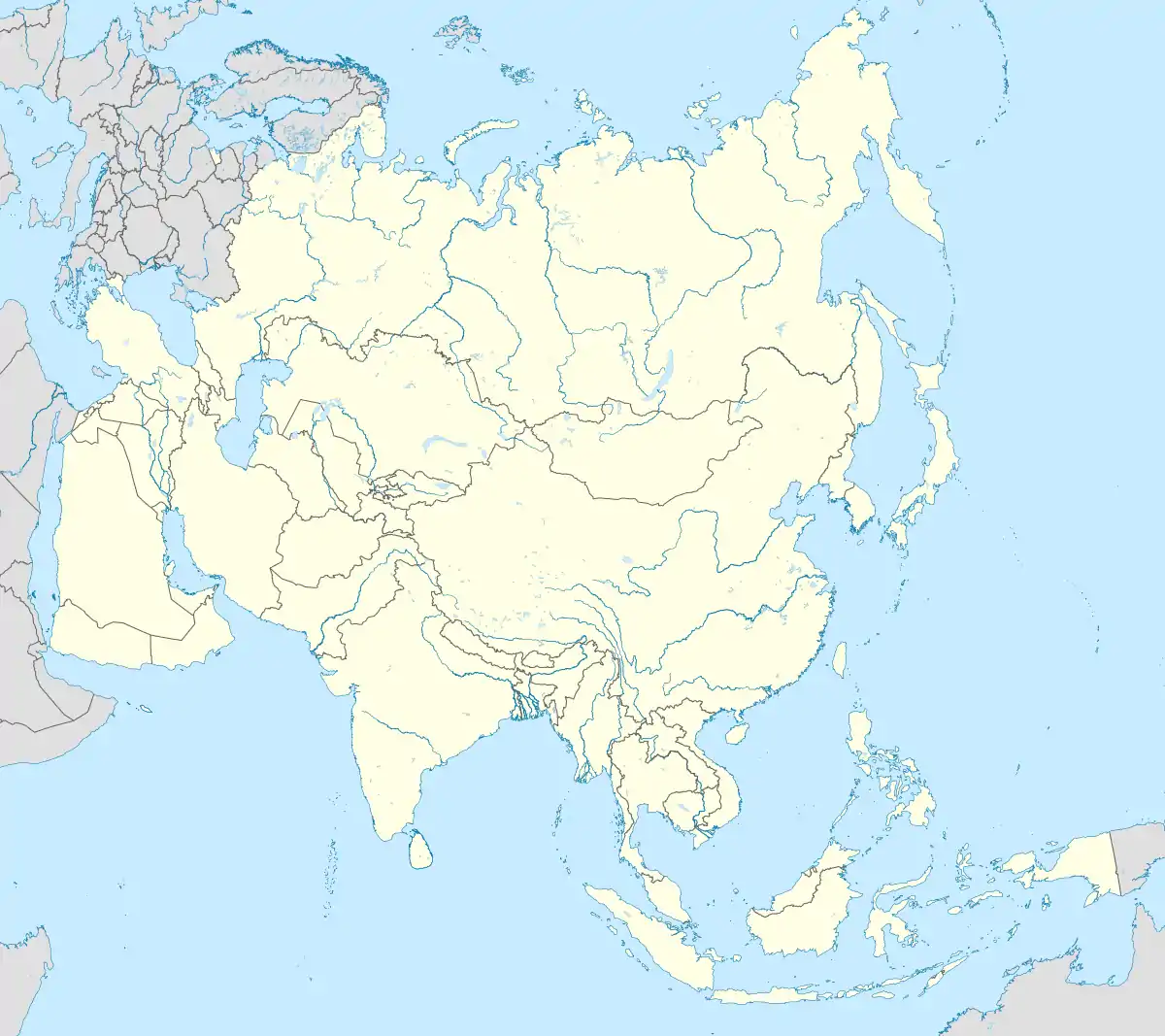 Alga Alga (Asia) | |
| Coordinates: 49°54′10″N 57°20′0″E | |
| Country | Kazakhstan |
| Region | Aktobe Region |
| Elevation | 270 m (890 ft) |
| Population (2009)[1] | |
| • Total | 19 705 |
| Time zone | UTC+5 (Yekaterinburg Time) |
| Area code(s) | +7 71337 |
It used to have a chemical phosphate plant which is now a ruin, but caused a lasting environmental damage as large quantities of chemical waste was collected in ponds without insulation to the aquifer.
Climate
| Climate data for Alga | |||||||||||||
|---|---|---|---|---|---|---|---|---|---|---|---|---|---|
| Month | Jan | Feb | Mar | Apr | May | Jun | Jul | Aug | Sep | Oct | Nov | Dec | Year |
| Average high °C (°F) | −9.9 (14.2) |
−9.1 (15.6) |
−2.2 (28.0) |
12.9 (55.2) |
22.8 (73.0) |
27.7 (81.9) |
30.1 (86.2) |
28.2 (82.8) |
21.5 (70.7) |
10.4 (50.7) |
0.3 (32.5) |
−6.1 (21.0) |
10.6 (51.0) |
| Average low °C (°F) | −19.2 (−2.6) |
−19.3 (−2.7) |
−12.1 (10.2) |
0.3 (32.5) |
7.7 (45.9) |
12.6 (54.7) |
15.3 (59.5) |
12.7 (54.9) |
6.7 (44.1) |
−0.8 (30.6) |
−7.7 (18.1) |
−14.4 (6.1) |
−1.5 (29.3) |
| Average precipitation mm (inches) | 23 (0.9) |
19 (0.7) |
20 (0.8) |
29 (1.1) |
26 (1.0) |
29 (1.1) |
25 (1.0) |
25 (1.0) |
21 (0.8) |
29 (1.1) |
27 (1.1) |
27 (1.1) |
300 (11.8) |
| Source: Climate-data.org | |||||||||||||
References
- "Население Республики Казахстан" (in Russian). Департамент социальной и демографической статистики. Retrieved 8 December 2013.
Capital: Aktobe | ||
| Districts | 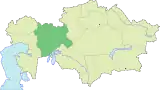 | |
| Major cities | ||
| Towns and villages |
| |
This article is issued from Wikipedia. The text is licensed under Creative Commons - Attribution - Sharealike. Additional terms may apply for the media files.