Almond, North Carolina
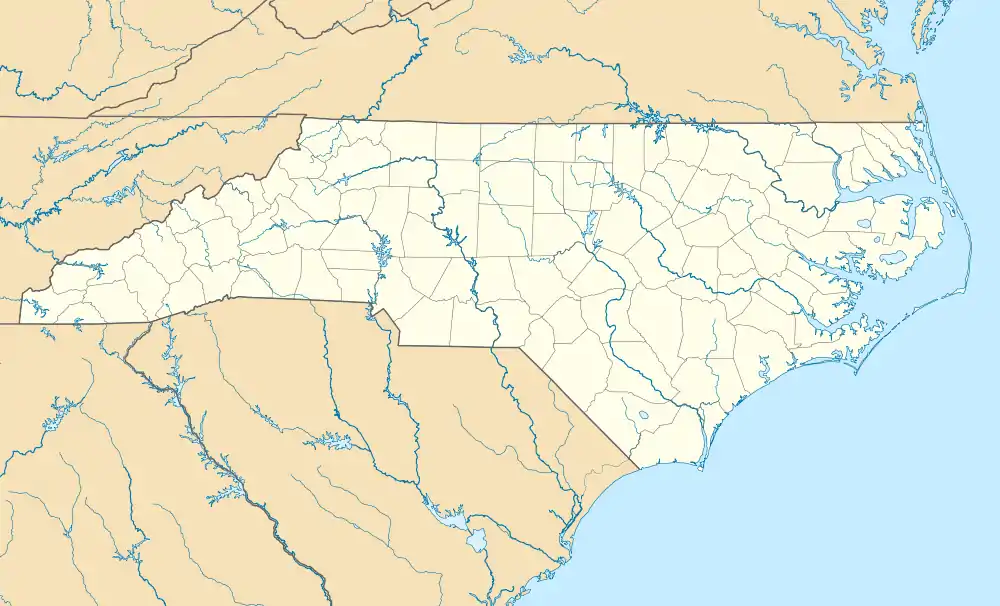
Almond is an unincorporated community in Swain County, North Carolina, United States. Almond is located on the Little Tennessee River and North Carolina Highway 28 7.9 miles (12.7 km) west-southwest of Bryson City. Almond has a post office with ZIP code 28702, which opened on March 17, 1886.[3][4] The community was named for Bud Almond, who provided the land on which the town was founded.[2] At one time, Almond was a scheduled stop with a depot for the Southern Railway on the Murphy Branch.
Almond, North Carolina | |
|---|---|
 Almond, North Carolina  Almond, North Carolina | |
| Coordinates: 35°22′11″N 83°33′55″W | |
| Country | United States |
| State | North Carolina |
| County | Swain |
| Named for | Bud Almond[1] |
| Elevation | 1,722 ft (525 m) |
| Time zone | UTC-5 (Eastern (EST)) |
| • Summer (DST) | UTC-4 (EDT) |
| ZIP code | 28702 |
| Area code(s) | 828 |
| GNIS feature ID | 1018806[2] |
Most of Almond is now covered by Fontana Lake.[5]
References
- "North Carolina Gazetteer". Retrieved December 24, 2020.
- "Almond". Geographic Names Information System. United States Geological Survey.
- United States Postal Service (2012). "USPS - Look Up a ZIP Code". Retrieved 2012-02-15.
- "Postmaster Finder - Post Offices by ZIP Code". United States Postal Service. Retrieved March 11, 2013.
- Ellison, George (June 12, 2013). "First of the Floppy Disc: Almond School". Smoky Mountain News. Retrieved 2020-05-28.
Municipalities and communities of Swain County, North Carolina, United States | ||
|---|---|---|
| Town | 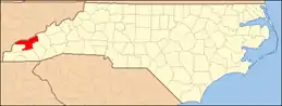 | |
| CDP | ||
| Unincorporated communities | ||
| Indian reservation | ||
| Footnotes | ‡This populated place also has portions in an adjacent county or counties | |
| ||
| Authority control |
|---|
This article is issued from Wikipedia. The text is licensed under Creative Commons - Attribution - Sharealike. Additional terms may apply for the media files.