Amery Municipal Airport
Amery Municipal Airport (IATA: AHH, ICAO: KAHH, FAA LID: AHH) is a city owned public use airport located two nautical miles (4 km) south of the central business district of Amery, a city in Polk County, Wisconsin, United States.[1] It is included in the Federal Aviation Administration (FAA) National Plan of Integrated Airport Systems for 2019–2023, in which it is categorized as a local general aviation facility.[2]
Amery Municipal Airport | |||||||||||
|---|---|---|---|---|---|---|---|---|---|---|---|
 | |||||||||||
| Summary | |||||||||||
| Airport type | Public | ||||||||||
| Owner | City of Amery | ||||||||||
| Serves | Amery, Wisconsin | ||||||||||
| Elevation AMSL | 1,088 ft / 332 m | ||||||||||
| Coordinates | 45°16′52″N 092°22′31″W | ||||||||||
| Map | |||||||||||
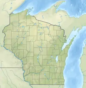 AHH Location of airport in Wisconsin, United States  AHH AHH (the United States) | |||||||||||
| Runways | |||||||||||
| |||||||||||
| Statistics | |||||||||||
| |||||||||||
The airport was damaged by high winds in September 2005. Six planes were damaged and five hangars were destroyed.[3]
Facilities and aircraft
Amery Municipal Airport covers an area of 218 acres (88 ha) at an elevation of 1,088 feet (332 m) above mean sea level. It has one VASI equipped runway designated 18/36 with an asphalt surface measuring 4,000 by 75 feet (1,219 x 23 m).[1]
For the 12-month period ending July 22, 2020, the airport had 13,900 aircraft operations, an average of 38 per day: 98% general aviation, 1% air taxi and 1% military. In December 2020, there were 27 aircraft based at this airport: 23 single-engine, 1 multi-engine and 3 ultralights.[1]
See also
References
- FAA Airport Form 5010 for AHH PDF. Federal Aviation Administration. effective December 31, 2020.
- "NPIAS Report 2019-2023 Appendix A" (PDF). Federal Aviation Administration. October 3, 2018. Retrieved October 12, 2018.
- "Residents in several communities cleaning up after night of storms". KARE 11. September 14, 2005.
External links
- Amery Municipal (AHH) at the Wisconsin DOT Airport Directory
- FAA Terminal Procedures for AHH, effective January 28, 2021
- Resources for this airport:
- FAA airport information for AHH
- AirNav airport information for AHH
- ASN accident history for AHH
- FlightAware airport information and live flight tracker
- SkyVector aeronautical chart for AHH
Civil aviation in Wisconsin | ||
|---|---|---|
| Primary airports | ||
| Airlines | ||
| Museums | ||
| Aviation related | ||
| People | ||