Aranaputa
Aranaputa is an Amerindian village[1] in the Upper Takutu-Upper Essequibo (Region 9), Guyana. It is located in the Pacaraima Mountains.
Aranaputa | |
|---|---|
Village | |
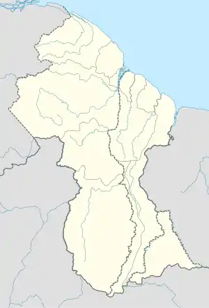 Aranaputa Location in Guyana | |
| Coordinates: 3°58′00″N 59°10′00″W | |
| Country | |
| Region | Upper Takutu-Upper Essequibo |
| Government | |
| • Chairman | Aiden Jacobus |
| Population (2012) | |
| • Total | 353 |
The name Aranaputa comes from the Makushi word for 'burnt up', due to various instances of fire in the village.[2]
The 2012 census population is 353.[3] In addition to English, Wapishana, and Macushi language are also commonly spoken languages. It has a nursery and a primary school, but secondary schooling is done in Annai Secondary situated at Bina Hill in Kwatamang.[4] Healthcare is provided by a public health centre. Major economic activities include peanut production, livestock rearing, and tourism.[5]
It has a satellite village, Kuribu. Chairman of their Community Development Council is Aiden Jacobus.[4][6]
History
Amerindians have historically resided in the area, however settlement was often temporary. In 1958, the government demarcated plots of land and leased it out to coastlanders, while designating another area as an Amerindian reservation. By 1940, the village had 4 coastland families, 3 of Portuguese origin and 1 Afro-Guyanese. Ranching and growing tobacco were their main economic trades.[2]
References
- "Indigenous Villages | Ministry of Amerindian Affairs". Retrieved 2020-12-25.
- "Aranaputa | North Rupununi District Development Board". nrddb.org. Retrieved 2020-12-26.
- "Publications – Bureau of Statistics – Guyana". Retrieved 2020-12-26.
- "Aranaputa". Stabroek News. 2017-06-04. Retrieved 2020-12-26.
- "Aranaputa | Ministry of Amerindian Affairs". Retrieved 2020-12-25.
- "Sport boosted in Aranaputa with gear, lights from NSC". Kaieteur News. 2018-01-15. Retrieved 2020-12-26.