Arikaree Glacier
Arikaree Glacier is an alpine glacier located in a cirque to the north of Arikaree Peak and south of Navajo Peak, in Roosevelt National Forest in the U.S. state of Colorado.[2] The glacier is just east of the Continental Divide and 1 mi (1.6 km) south of Isabelle Glacier.
| Arikaree Glacier | |
|---|---|
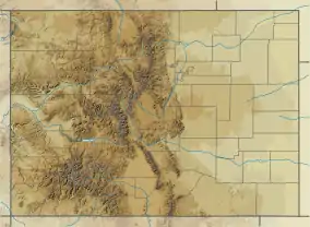 Arikaree Glacier Location in Colorado | |
| Type | Mountain glacier |
| Location | Boulder County, Colorado, United States |
| Coordinates | 40°03′00″N 105°38′30″W[1] |
| Length | .10 mi (0.16 km) and .25 mi (0.40 km) wide |
| Terminus | Talus |
| Status | Retreating |
References
- "Arikaree Glacier". Geographic Names Information System. United States Geological Survey. Retrieved 2012-08-18.
- Monarch Lake, CO (Map). TopoQwest (United States Geological Survey Maps). Retrieved 2012-08-18.
This article is issued from Wikipedia. The text is licensed under Creative Commons - Attribution - Sharealike. Additional terms may apply for the media files.