Arlington Municipal Airport (Texas)
Arlington Municipal Airport (ICAO: KGKY, FAA LID: GKY) is five miles south of Arlington, in Tarrant County, Texas.[1] The airport is at the intersection of Interstate 20 and South Collins Road; it is a reliever airport for Dallas/Fort Worth International Airport and Dallas Love Field.
Arlington Municipal Airport | |||||||||||
|---|---|---|---|---|---|---|---|---|---|---|---|
 | |||||||||||
| Summary | |||||||||||
| Airport type | Public | ||||||||||
| Operator | City of Arlington | ||||||||||
| Serves | Arlington, Texas | ||||||||||
| Elevation AMSL | 628 ft / 191 m | ||||||||||
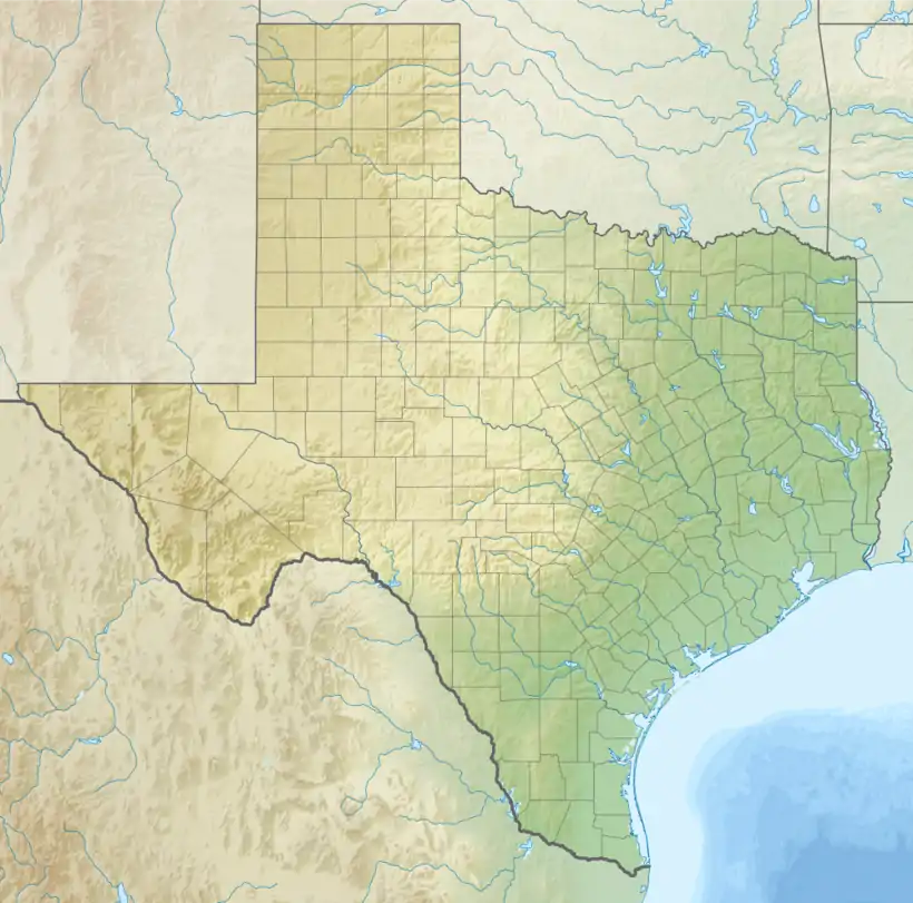
| Coordinates | 32°39′50″N 097°05′39″W | ||||||||||
| Website | |||||||||||
| Map | |||||||||||
 GKY  GKY | |||||||||||
| Runways | |||||||||||
| |||||||||||
| Statistics (2006) | |||||||||||
| |||||||||||
Several companies operate aircraft services on the airport property, including the Bell Helicopter division of Textron.
Most U.S. airports use the same three-letter location identifier for the FAA and IATA, but this airport GKY to the FAA and has no IATA code.[2]
Facilities
The airport covers 500 acres (200 ha) at an elevation of 628 feet (191 m). Its single runway, 16/34, is 6,080 by 100 feet (1,853 x 30 m) concrete.[1]
In 2006 the airport had 151,600 aircraft operations, average 415 per day: 97% general aviation, 3% air taxi and <1% military. 250 aircraft were then based at this airport: 70% single-engine, 22% multi-engine, 6% helicopter and 2% jet.[1]
References
- FAA Airport Form 5010 for GKY PDF, effective 2009-05-07.
- Great Circle Mapper: KGKY - Arlington, Texas
External links
- Arlington Municipal Airport, official site
- FAA Airport Diagram (PDF), effective January 28, 2021
- FAA Terminal Procedures for GKY, effective January 28, 2021
- Resources for this airport:
- FAA airport information for GKY
- AirNav airport information for KGKY
- FlightAware airport information and live flight tracker
- NOAA/NWS weather observations: current, past three days
- SkyVector aeronautical chart, Terminal Procedures
| Education |
| ||||
|---|---|---|---|---|---|
| Landmarks | |||||
| Transportation | |||||
| History | |||||
| |||||