Armstead, Montana
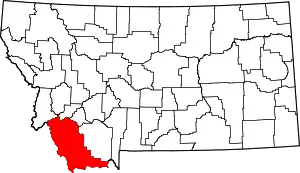
Armstead is a former community in Beaverhead County, Montana, United States, about 21 miles (34 km) south of the county seat of Dillon. It was named after miner Harry Armstead.[2] Armstead was located in a narrow valley of the Beaverhead River, near the mouth of Horse Prairie Creek. The town was a station stop on the Union Pacific Railroad line from Idaho Falls, Idaho to Butte, Montana. There was a post office in Armstead from 1907 to 1962.
Armstead | |
|---|---|
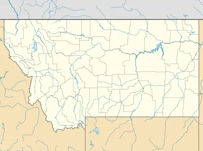
 Armstead Location of Armstead in Montana | |
| Coordinates: 44°58′21″N 112°51′51″W[1] | |
| Country | United States |
| State | Montana |
| County | Beaverhead |
| Established | 1907 |
| Abandoned | 1962 |
| Named for | Harry Armstead |
| Elevation | 5,545 ft (1,690 m) |
Armstead is perhaps best remembered as the eastern terminus and headquarters of the Gilmore and Pittsburgh Railroad, which operated a line from there to Salmon, Idaho between 1910 and 1939.
The Lewis and Clark expedition traveled past the future location of Armstead during its westward trek in 1805.[3]
The construction of Clark Canyon Dam in 1961–1964 created a reservoir that completely inundated the former site of Armstead. The town was still a viable community when the decision to build the dam was made. Because of this, some people do not categorize Armstead as being a ghost town. When the water level is low enough parts of the old highway, railroad, and even some building foundations are still visible.
Notes
- "Armstead". Geographic Names Information System. United States Geological Survey.
- "Montana History: Place Names (A-B)". Archived from the original on 11 February 2017. Retrieved 19 June 2017.CS1 maint: bot: original URL status unknown (link)
- Fanselow, Julie (1 May 2003). Traveling the Lewis and Clark Trail. Globe Pequot Press. p. 207. ISBN 978-0-7627-2589-2.
