Askern
Askern (/ˈæskərn/) is a town and civil parish within the Metropolitan Borough of Doncaster, in South Yorkshire, England. It is on the A19 road between Doncaster and Selby. Historically part of the West Riding of Yorkshire, it became a spa town in the late 19th century, but this stopped once coal mines opened in the town. The last mine closed in the 1990s. It had a population of 5,570 at the 2011 Census.[1]
| Askern | |
|---|---|
Mar2008.jpg.webp) Askern Spa Pool | |
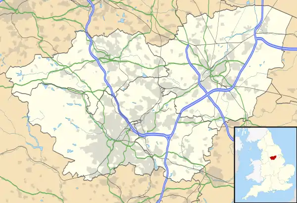
 Askern Location within South Yorkshire | |
| Population | 5,570 (2011) |
| OS grid reference | SE5513 |
| Civil parish |
|
| Metropolitan borough | |
| Metropolitan county | |
| Region | |
| Country | England |
| Sovereign state | United Kingdom |
| Post town | DONCASTER |
| Postcode district | DN6 |
| Dialling code | 01302 |
| Police | South Yorkshire |
| Fire | South Yorkshire |
| Ambulance | Yorkshire |
| UK Parliament | |
Askern is also well known in South Yorkshire for its Askern Greyhound Stadium.
History
The history of Askern can be traced back to the reign of Edward III. The people of Norton complained to the Sheriff of Osgodcross that the people of Askern had failed to keep part of Askern Pool in a clean state. As a result, the King's highway had been "overflowed and drowned so that neither horse nor foot passengers could use it".
The parish church of St Peter's dates back to 1853.
Askern Spa
The area of the fishing lake and the surrounding wetland area have dominated much of the town's history, starting from the settlements at Sutton Common and continuing through to the spa of the Victorian era.
Askern, a small farming village, became known locally for its waters in the 18th century when Dr Short, in his book Mineral Waters of Yorkshire, refers to the waters as having a most unpleasant odour and taste.
During the 19th century Askern started to gain a reputation as having water with healing properties. At this time the lords of the manor built the first bathhouse called Manor Baths. After this other baths were built, until in the late 19th century Askern had earned the title of Spa, and had 5 bathhouses; and the water could also be taken at the Spa Hydropathic Establishment.
Askern came to be the place to stay, and the railway was built to enable people from across the Pennines to come and partake of the healing waters. Many people were now coming to Askern by road and rail. Hotels were being built and guesthouses lined Station Road and Moss Road.
Coal mining
Then in the early years of the 20th century the quest for coal identified a good seam of coal near Askern. It was decided to access the coal from a mine built above the village, and with the mine came the people to build it. As the mine opened the new village was built to house the workers and their families. This new population was at odds with the well-to-do visitors. As the First World War started, the death knell was sounded for Askern Spa and the spa visitors declined to no more than a few regulars.
Once again Askern changed direction and became a thriving pit village, which welcomed people from all over the country to work and live in the area, giving the town a mixed background. The mine's coal was regarded as highest quality, and the opening of the Coalite works confirmed Askern as a place of high employment and a pleasant environment to live in. This however changed as the Coalite plant pushed more smoke and fumes into the atmosphere.
Railway
Askern is on the former Lancashire and Yorkshire Railway line between Doncaster and Wakefield Kirkgate, though Askern railway station closed in 1947 and little remains of it. The line is used mainly by goods services, including coal to Ferrybridge, Eggbrough and Drax power stations, as well as the infrequent Grand Central passenger services from Bradford Interchange to London King's Cross.
Bus services
Askern has a number of services, the main services being Arriva Yorkshire's 405, 408 and 409, a daily X45, school services X8 and 619. First South Yorks' 51, 51a, 409 and 412. Two school services (447 & 499) are operated by Powells bus and John L Law respectively.
See also
References
- "Civil Parish population 2011". Neighbourhood Statistics. Office for National Statistics. Retrieved 6 March 2016.