Aspendale Gardens, Victoria
Aspendale Gardens is a suburb in Melbourne, Victoria, Australia, 27 km south-east of Melbourne's central business district.[2] Its local government area is the City of Kingston. According to the 2016 census, Aspendale Gardens had a population of 6,530.[1]
| Aspendale Gardens Melbourne, Victoria | |||||||||||||||
|---|---|---|---|---|---|---|---|---|---|---|---|---|---|---|---|
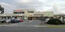 Aspendale Gardens shopping centre | |||||||||||||||
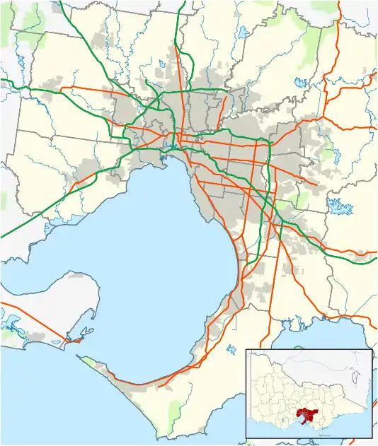 Aspendale Gardens Location in metropolitan Melbourne | |||||||||||||||
| Coordinates | 38°01′22″S 145°07′08″E | ||||||||||||||
| Population | 6,530 (2016 census)[1] | ||||||||||||||
| • Density | 1,979/km2 (5,130/sq mi) | ||||||||||||||
| Postcode(s) | 3195 | ||||||||||||||
| Area | 3.3 km2 (1.3 sq mi) | ||||||||||||||
| Location | 27 km (17 mi) from Melbourne | ||||||||||||||
| LGA(s) | City of Kingston | ||||||||||||||
| State electorate(s) | Mordialloc | ||||||||||||||
| Federal Division(s) | Isaacs | ||||||||||||||
| |||||||||||||||
Wells Road (State Route 23) transects the suburb. The M11 Mornington Peninsula Freeway and Springvale Road/Edithvale Road (Route 40) run along the border of Aspendale Gardens.
There are a number of open areas and playgrounds facilities in Aspendale Gardens including a cricket oval behind Aspendale Gardens Primary School, 6 playgrounds and over 20 large grassy areas spaced throughout the housing estates. There are many walking trails throughout Aspendale Gardens, including the Long Beach Trail (from the Patterson River to the Mordialloc Pier), the Mordialloc Creek Trail (from the Waterways Trail to Mordialloc Pier), the Waterways Trail (from Wells Road to Waterways) and the Aspendale Gardens Trail (from 7 - Eleven to the Long Beach Trail outside St. Louis de Montford School).
References
- Australian Bureau of Statistics (27 June 2017). "Aspendale Gardens (State Suburb)". 2016 Census QuickStats. Retrieved 3 December 2017.

- "Postcode for Aspendale Gardens, Victoria". postcodes-australia.com.