Astley Bridge
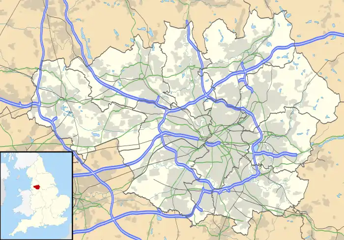
Astley Bridge is predominantly a residential district of Bolton in Greater Manchester, England. It is 2.5 miles (4 km) north of Bolton town centre, 11.7 miles (19 km) south of Blackburn, and 14.3 miles (23 km) northwest of Manchester.[1]
| Astley Bridge | |
|---|---|
 Astley Bridge Location within Greater Manchester | |
| OS grid reference | SD7112 |
| • London | 225.9 mi (363.6 km) SSE |
| Metropolitan borough | |
| Metropolitan county | |
| Region | |
| Country | England |
| Sovereign state | United Kingdom |
| Post town | BOLTON |
| Postcode district | BL1 |
| Dialling code | 01204 |
| Police | Greater Manchester |
| Fire | Greater Manchester |
| Ambulance | North West |
| UK Parliament | |
History
Astley Bridge is quite a modern place name and only came into general use during the second half of the 19th century. It now refers to the large district in the modern Metropolitan Borough of Bolton, but prior to then it simply meant the bridge over Astley Brook which ran through the lower end of the township of Sharples.[2]
A Local Board of Health for Astley Bridge was constituted in 1864.[3] The District comprised the higher (or detached) portion of Little Bolton and the lower portion of Sharples.[3] After the Public Health Act 1875 was passed by Parliament in that year, Astley Bridge Local Board of Health assumed extra duties as an urban sanitary district, although the Local Board's title did not change.[4] Following the implementation of the Local Government Act 1894, Astley Bridge Local Board was replaced by an elected urban district council in January 1895 but was dissolved in 1898 under the Bolton, Turton and Westhoughton Extension Act and its powers vested in Bolton County Borough Council.[5]
Governance
Since 1974, Astley Bridge has been part of the Metropolitan Borough of Bolton and gives its name to one of Bolton Council's electoral wards, the Astley Bridge ward which includes the Sharples, Bank Top, Eagley Bank, and Horrocks Fold areas. It is represented in Bolton Town Hall by three councillors.[6] The ward is also part of the Bolton North East constituency which has been represented in the House of Commons by the Conservative Party MP Mark Logan since 2019.
Education
There are five schools in Astley Bridge: St Paul's C.E. Primary School for pupils aged 2–11, Holy Infant and St Anthony RC Primary School, The Oaks Primary School and High Lawn Primary School, for pupils aged 5–11, and Thornleigh Salesian College for pupils aged 11–18.
Religion sites

Astley Bridge has a number of religious places of worship:
- St Paul's Church (CE), Holland Street, Astley Bridge.
- Holy Infant and St Anthony Church (RC), Baxendale Street, Astley Bridge.
- Astley Bridge Baptist Church, Eden Street, Astley Bridge.
- Astley Bridge Methodist, Seymour Road, Astley Bridge.
- Bank Top United Reformed Church, Ashworth Lane, Astley Bridge.
- Gospel Hall, Maxwell Street, Astley Bridge.
- Lee Clough Mission, Old Road, Astley Bridge.
References
- "AA Route Planner". The AA. Retrieved 11 March 2019.
- Billington, W.D. (1982). From Affetside to Yarrow. Egerton: Ross Anderson Publications. p. 2. ISBN 0-86360-003-4.
- "Greater Manchester Gazetteer". Greater Manchester County Record Office. Place names – A. Archived from the original on 18 July 2011. Retrieved 24 July 2016.
- Great Britain Historical GIS Project. "Astley Bridge USD: Relationships and changes". A Vision of Britain through Time. University of Portsmouth. Retrieved 11 March 2019.
- Great Britain Historical GIS Project. "Astley Bridge UD: Relationships and changes". A Vision of Britain through Time. University of Portsmouth. Retrieved 11 March 2019.
- "Elected Members". Bolton Council. Retrieved 6 July 2018.
