Bagua Plateau
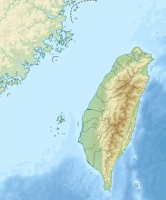
Pakua Plateau or Bagua Plateau (Chinese: 八卦台地; pinyin: Bāguà Táidì), also known as the Pakua Mountain Range (八卦山脈), is a plateau located at the central-western Taiwan. It is stretching across Changhua County and Nantou County. The plateau faces the Changhua Plain on the west and Taichung Basin on the east. It is long and narrow, has a length of about 32 km, and a width of about 4 to 7 km. The highest peak of the plateau is the Mt. Hengshan, which has a height of 424m.[1][2][3][4]
| Bagua Plateau | |
|---|---|
| 八卦台地 | |
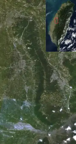 | |
 Bagua Plateau Taiwan | |
| Location | Taiwan |
| Coordinates | 23°55′58.0″N 120°37′36.7″E |
| Highest point – elevation | Mount Hengshan 442.6 m |
| Length | 32 km |
| Width | 7 km |
| Geology | Plateau |
See also
References
- "Welcome to Taiwan Tri-Mountain National Scenic Area - ..." eng.taiwan.net.tw. Archived from the original on 11 March 2014. Retrieved 11 March 2014.
- "Taiwan (China) North Section of Bagua". birdlife.org. Retrieved 11 March 2014.
- "Yongxing Village". taiseen.org.tw. Retrieved 11 March 2014.
- "Plateaus in Asia". physicalmapofasia.com. Retrieved 11 March 2014.
| Wikimedia Commons has media related to Bagua Plateau. |
This article is issued from Wikipedia. The text is licensed under Creative Commons - Attribution - Sharealike. Additional terms may apply for the media files.
