Barabai
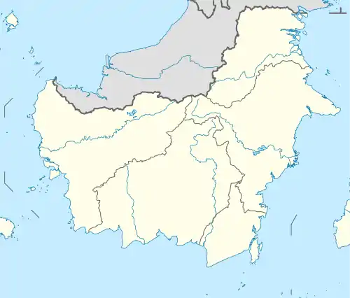
Barabai is the capital city of Hulu Sungai Tengah Regency, South Kalimantan, Indonesia. It is located 165km away from Banjarmasin, the capital of the province. The town is at the feet of the Meratus Mountains that runs in a north-south arc on the island of Borneo.
Barabai | |
|---|---|
Town | |
 Barabai | |
| Coordinates: 2°35′S 115°23′E | |
| Country | Indonesia |
| Province | South Kalimantan |
| Villages | 18 |
| Area | |
| • Total | 40.71 km2 (15.72 sq mi) |
| Population (2019) | |
| • Total | 60,873 |
| • Density | 1,500/km2 (3,900/sq mi) |
| [1] | |
| Time zone | UTC+8 (WITA) |
| Area code(s) | +62 517 |
Climate
Barabai has a tropical rainforest climate (Af) with moderate rainfall in August and September and heavy rainfall in the remaining months.
| Climate data for Barabai | |||||||||||||
|---|---|---|---|---|---|---|---|---|---|---|---|---|---|
| Month | Jan | Feb | Mar | Apr | May | Jun | Jul | Aug | Sep | Oct | Nov | Dec | Year |
| Average high °C (°F) | 29.6 (85.3) |
30.1 (86.2) |
30.4 (86.7) |
30.8 (87.4) |
30.9 (87.6) |
30.6 (87.1) |
30.5 (86.9) |
31.2 (88.2) |
31.4 (88.5) |
31.6 (88.9) |
30.9 (87.6) |
30.1 (86.2) |
30.7 (87.2) |
| Daily mean °C (°F) | 26.1 (79.0) |
26.4 (79.5) |
26.7 (80.1) |
26.9 (80.4) |
27.0 (80.6) |
26.6 (79.9) |
26.3 (79.3) |
26.7 (80.1) |
26.9 (80.4) |
27.2 (81.0) |
26.9 (80.4) |
26.5 (79.7) |
26.7 (80.0) |
| Average low °C (°F) | 22.7 (72.9) |
22.8 (73.0) |
23.0 (73.4) |
23.1 (73.6) |
23.2 (73.8) |
22.6 (72.7) |
22.1 (71.8) |
22.2 (72.0) |
22.4 (72.3) |
22.8 (73.0) |
22.9 (73.2) |
22.9 (73.2) |
22.7 (72.9) |
| Average rainfall mm (inches) | 256 (10.1) |
285 (11.2) |
235 (9.3) |
214 (8.4) |
194 (7.6) |
130 (5.1) |
141 (5.6) |
113 (4.4) |
114 (4.5) |
146 (5.7) |
264 (10.4) |
318 (12.5) |
2,410 (94.8) |
| Source: Climate-Data.org[2] | |||||||||||||
References
- Badan Pusat Statistik, Jakarta, 2020.
- "Climate: Barabai". Climate-Data.org. Retrieved 24 November 2020.

School for natives in Barabai, Southeast Borneo
This article is issued from Wikipedia. The text is licensed under Creative Commons - Attribution - Sharealike. Additional terms may apply for the media files.