Belén District, Carrillo
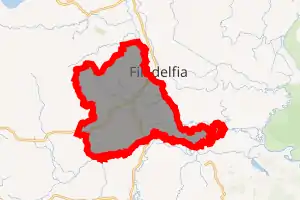
Belén is a district of the Carrillo canton, in the Guanacaste province of Costa Rica.[1][2]
Belén | |
|---|---|

Belén district | |
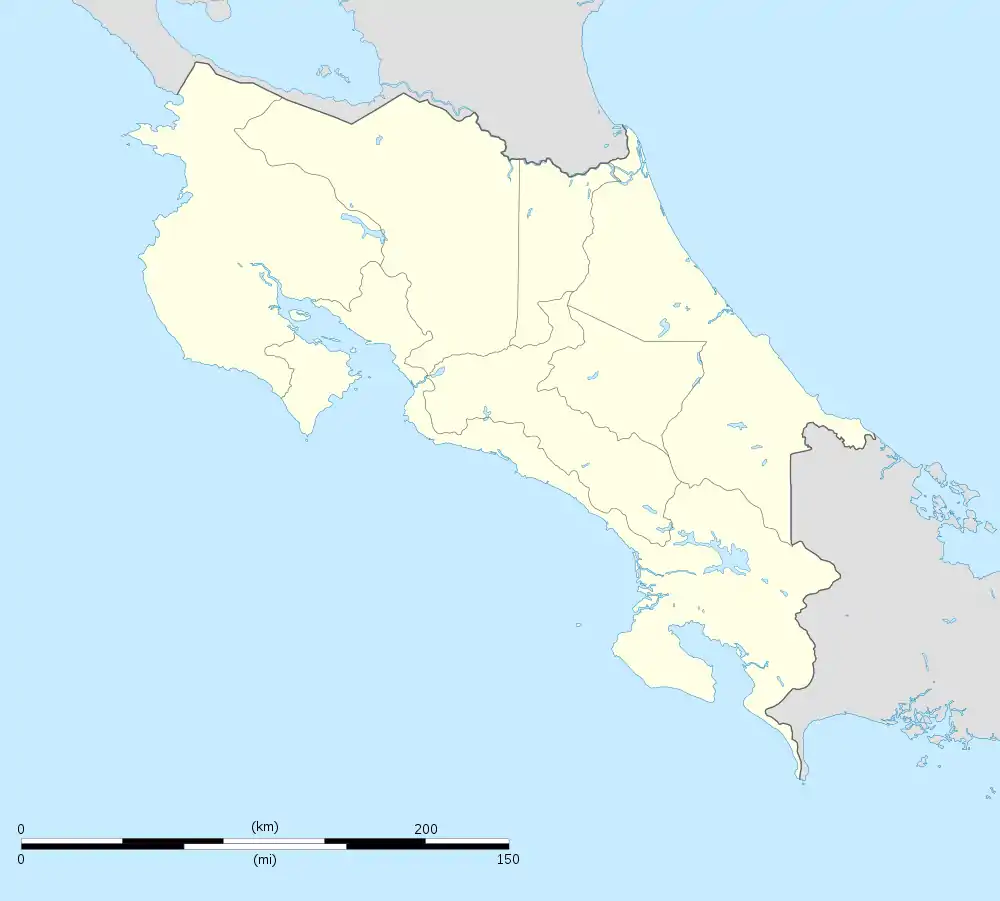
 Belén Belén district location in Costa Rica | |
| Coordinates: 10.406149°N 85.5647058°W | |
| Country | |
| Province | Guanacaste |
| Canton | Carrillo |
| Creation | 16 June 1877 |
| Area | |
| • Total | 181.55 km2 (70.10 sq mi) |
| Elevation | 34 m (112 ft) |
| Population (2011) | |
| • Total | 8,841 |
| • Density | 49/km2 (130/sq mi) |
| Time zone | UTC−06:00 |
| Postal code | 50504 |
Toponymy
Originally known as Villita (Little Village), its current name of Belén is the Spanish name for Bethlehem and comes in the wake of the festivities that were held each 25 December dedicated to the Child Jesus, since the priest Fray Juan Paz arrived in the community in 1885 and saw the devotion of the people for the Child Jesus of Bethlehem and he proposed the name for that community.
History
Belén was created on 16 June 1877 by Decreto 22. Segregated from Santa Cruz canton.[2] The present church was built in 1969 and the park was built in the period 1974-1978.
Villages
Administrative center of the district is the village of Belén.
Other villages in the district are Alto San Antonio, Cachimbo, Castilla de Oro, Coyolito, Gallina, Juanilama, Loma Bonita, Llano, Ojochal, Palestina, Palmas, Paraíso, Penca, Planes, Poroporo, Río Cañas Nuevo, Santa Ana, Santo Domingo.
Demographics
| Historical population | |||
|---|---|---|---|
| Census | Pop. | %± | |
| 1927 | 1,589 | — | |
| 1950 | 1,912 | 20.3% | |
| 1963 | 3,386 | 77.1% | |
| 1973 | 4,103 | 21.2% | |
| 1984 | 4,641 | 13.1% | |
| 2000 | 6,071 | 30.8% | |
| 2011 | 8,841 | 45.6% | |
|
Instituto Nacional de Estadística y Censos[4] |
|||
For the 2011 census, Belén had a population of 8,841 inhabitants. [6]
Transportation
Road transportation
The district is covered by the following road routes:
References
- "Declara oficial para efectos administrativos, la aprobación de la División Territorial Administrativa de la República N°41548-MGP". Sistema Costarricense de Información Jurídica (in Spanish). 19 March 2019. Retrieved 26 September 2020.
- División Territorial Administrativa de la República de Costa Rica (PDF) (in Spanish). Editorial Digital de la Imprenta Nacional. 8 March 2017. ISBN 978-9977-58-477-5.
- "Área en kilómetros cuadrados, según provincia, cantón y distrito administrativo". Instituto Nacional de Estadística y Censos (in Spanish). Retrieved 26 September 2020.
- "Instituto Nacional de Estadística y Censos" (in Spanish).
- "Sistema de Consulta de a Bases de Datos Estadísticas". Centro Centroamericano de Población (in Spanish).
- "Censo. 2011. Población total por zona y sexo, según provincia, cantón y distrito". Instituto Nacional de Estadística y Censos (in Spanish). Retrieved 26 September 2020.