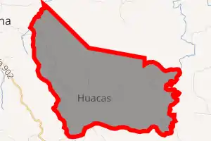
Huacas District
Huacas is a district of the Hojancha canton, in the Guanacaste province of Costa Rica.[1][2]
Huacas | |
|---|---|

Huacas district | |
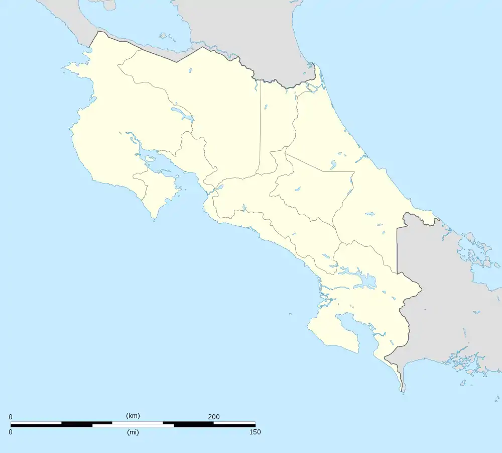
 Huacas Huacas district location in Costa Rica | |
| Coordinates: 10.0357253°N 85.35947°W | |
| Country | |
| Province | Guanacaste |
| Canton | Hojancha |
| Creation | 23 July 1999 |
| Area | |
| • Total | 31.49 km2 (12.16 sq mi) |
| Elevation | 570 m (1,870 ft) |
| Population (2011) | |
| • Total | 707 |
| • Density | 22/km2 (58/sq mi) |
| Time zone | UTC−06:00 |
| Postal code | 51104 |
History
Huacas was created on 23 July 1999 by Decreto Ejecutivo 28027-G. Segregated from Hojancha.[2]
Villages
Administrative center of the district is the village of Huacas.
Other villages in the district are Avellana, Pita Rayada, Río Blanco Oeste and Tres Quebradas.
Demographics
| Historical population | |||
|---|---|---|---|
| Census | Pop. | %± | |
| 2000 | 697 | — | |
| 2011 | 707 | 1.4% | |
|
Instituto Nacional de Estadística y Censos[4] |
|||
For the 2011 census, Huacas had a population of 707 inhabitants. [6]
Transportation
There is a 3-way intersection in the center of town. To the east, the road goes to the Liberia International Airport (officially called the Daniel Oduber Quiros International Airport) and Liberia (the capital city of the Guanacaste province). To the west it goes to Playa Grande, and another intersection going north to other beach towns, including Brasalito and Flamingo. To the south, it goes to Villareal and Tamarindo. West of this 3-way intersection is the ambulance service and the 24-hour clinic.
Services
There is a large Super Compro supermarket in town, with an ATM but no air conditioning, and also some clothing and shoe stores. There are several restaurants and cafes (some are called panaderia which means bakery). There is also a small library in town. There is a gas station south of town, and another to the east.
References
- "Declara oficial para efectos administrativos, la aprobación de la División Territorial Administrativa de la República N°41548-MGP". Sistema Costarricense de Información Jurídica (in Spanish). 19 March 2019. Retrieved 26 September 2020.
- División Territorial Administrativa de la República de Costa Rica (PDF) (in Spanish). Editorial Digital de la Imprenta Nacional. 8 March 2017. ISBN 978-9977-58-477-5.
- "Área en kilómetros cuadrados, según provincia, cantón y distrito administrativo". Instituto Nacional de Estadística y Censos (in Spanish). Retrieved 26 September 2020.
- "Instituto Nacional de Estadística y Censos" (in Spanish).
- "Sistema de Consulta de a Bases de Datos Estadísticas". Centro Centroamericano de Población (in Spanish).
- "Censo. 2011. Población total por zona y sexo, según provincia, cantón y distrito". Instituto Nacional de Estadística y Censos (in Spanish). Retrieved 26 September 2020.