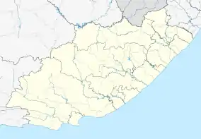
Bell, Eastern Cape
Bell is a village 30 km south-east of Peddie and 80 km south-west of East London. Named after Charles Davidson Bell (1813-1882), Surveyor-General in 1857.[2]
Bell | |
|---|---|
 Bell  Bell | |
| Coordinates: 33.256°S 27.363°E | |
| Country | South Africa |
| Province | Eastern Cape |
| District | Amathole |
| Municipality | Ngqushwa |
| Area | |
| • Total | 3.29 km2 (1.27 sq mi) |
| Population (2011)[1] | |
| • Total | 865 |
| • Density | 260/km2 (680/sq mi) |
| Racial makeup (2011) | |
| • Black African | 99.7% |
| • Indian/Asian | 0.1% |
| • Other | 0.2% |
| First languages (2011) | |
| • Xhosa | 96.9% |
| • English | 1.7% |
| • Other | 1.4% |
| Time zone | UTC+2 (SAST) |
| Postal code (street) | 5605 |
References
- "Main Place Bell". Census 2011.
- Raper, Peter E. (1987). Dictionary of Southern African Place Names. Internet Archive. p. 73. Retrieved 28 August 2013.
This article is issued from Wikipedia. The text is licensed under Creative Commons - Attribution - Sharealike. Additional terms may apply for the media files.
.svg.png.webp)