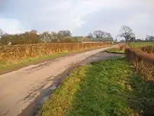
Bellasize
Bellasize is a hamlet in the East Riding of Yorkshire, England. It is situated approximately 5 miles (8 km) east of the market town of Howden.
| Bellasize | |
|---|---|
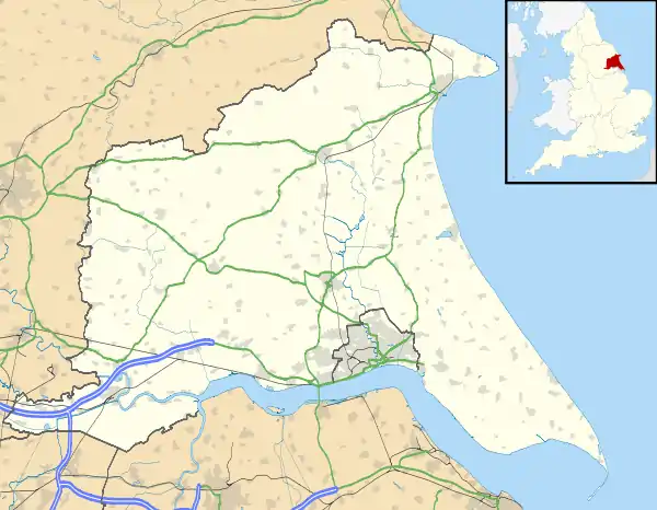 Bellasize Location within the East Riding of Yorkshire | |
| OS grid reference | SE821278 |
| • London | 155 mi (249 km) S |
| Civil parish | |
| Unitary authority | |
| Ceremonial county | |
| Region | |
| Country | England |
| Sovereign state | United Kingdom |
| Post town | GOOLE |
| Postcode district | DN14 |
| Dialling code | 01430 |
| Police | Humberside |
| Fire | Humberside |
| Ambulance | Yorkshire |
| UK Parliament | |
History
The name of the hamlet derives from the French meaning beautiful seat (belle + assis, belasis, belasyse), and has the same derivation as Belsize.[1][2] Historically in the wapentake and liberty of Howdenshire, the village now forms part of the civil parish of Blacktoft.[3][4]
RAF Bellasize
Fields to the south of the village were used by the Royal Air Force (and the Royal Flying Corps) between 1916 and 1919, and 1939–1945.[5] During the First World War, the site was used by No.s 31 and 76 Squadrons in the Home Defence role. During this period, it was noted that the 33 acres (13 ha) site was prone to flooding from the nearby River Ouse.[6][7] It was pressed back into service during the Second World War as a relief landing ground for No. 4 Elementary Flying Training School, who were based at nearby Brough airfield (to the east). The site had a grass runway which extended to 2,000 feet (610 m).[8][9]
References
- Chrystal, Paul (2017). The Place Names of Yorkshire; Cities, Towns, Villages, Rivers and Dales, some Pubs too, in Praise of Yorkshire Ales (1 ed.). Catrine: Stenlake. p. 17. ISBN 9781840337532.
- "Bellasize (Major Settlement, Eastrington, East Riding of Yorkshire)". epns.nottingham.ac.uk. Retrieved 17 October 2020.
- Clarke, Stephen Reynolds (1828). The new Yorkshire gazetteer, or topographical dictionary. London: Henry Teesdale. p. 22. OCLC 265425063.
- UK Census (2011). "Local Area Report – Blacktoft Parish (E04000360)". Nomis. Office for National Statistics. Retrieved 17 October 2020.
- "Bellasize - Airfields of Britain Conservation Trust UK". www.abct.org.uk. Retrieved 17 October 2020.
- Chorlton, Martyn (2014). Forgotten airfields of World War I. Manchester: Crecy. p. 41. ISBN 9780859791816.
- Delve, Ken (2006). Northern England : Co. Durham, Cumbria, Isle of Man, Lancashire, Merseyside, Manchester, Northumberland, Tyne & Wear, Yorkshire. Ramsbury: Crowood. p. 43. ISBN 1-86126-809-2.
- Otter, Patrick (1998). Yorkshire airfields in the Second World War. Newbury: Countryside Books. p. 298. ISBN 1-85306-542-0.
- Delve, Ken (2006). Northern England : Co. Durham, Cumbria, Isle of Man, Lancashire, Merseyside, Manchester, Northumberland, Tyne & Wear, Yorkshire. Ramsbury: Crowood. p. 44. ISBN 1-86126-809-2.
- Gazetteer — A–Z of Towns Villages and Hamlets. East Riding of Yorkshire Council. 2006. p. 3.
| Wikimedia Commons has media related to Bellasize. |