Benteng, Selayar Islands
Benteng is an administrative district in the Selayar Islands Regency, South Sulawesi, Indonesia. It is the administrative capital of the Selayar Islands Regency and is located on the seafront where the means of transport from outside the closest is Benteng Pier. The nearest airport and is the only airport H. Aroeppala Airport located in Padang few miles south of Benteng Bontosunggu precisely in the village, Bontoharu District, Selayar Islands Regency. Capital city is the administrative district Benteng Citadel.
Benteng | |
|---|---|
Town | |
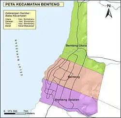 Map of Benteng | |
 Benteng 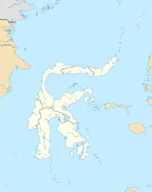 Benteng Benteng (Sulawesi)  Benteng Benteng (Indonesia) | |
| Coordinates: 6°7′10.73″S 120°27′59.88″E | |
| Country | Indonesia |
| Province | South Sulawesi |
| Regency | Selayar Islands Regency |
| Area | |
| • Total | 7.12 km2 (2.75 sq mi) |
| Population (2010[1]) | |
| • Total | 21,344 |
| • Density | 3,000/km2 (7,800/sq mi) |
| Time zone | UTC+8 (ICST) |
| Postcode | 92812 |
| Area code | (+62) 414 |
| Vehicle registration | DD |
Demographics
| Population growth charts Benteng District |
|---|
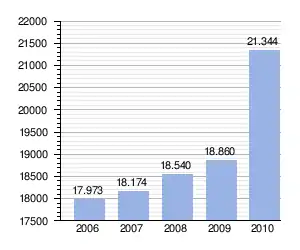 |

Home office district Selayar Islands Regency in 1900

Youth Field Benteng in 1923
References
- Census of 2010 - Biro Pusat Statistik, Jakarta, 2011.
External links
- (in Indonesian) wikisource/Pariwisata selayar tahun 2010
- (in Indonesian) wikisource/Penduduk & ketenagakerjaan selayar tahun 2010
Capital: Benteng | ||
| Districts: |
| |
This article is issued from Wikipedia. The text is licensed under Creative Commons - Attribution - Sharealike. Additional terms may apply for the media files.