Beryl, Utah
Beryl (/ˈbɜːrəl/ BUR-əl) is an unincorporated community in west-central Iron County, Utah, United States.[1]
Beryl, Utah | |
|---|---|
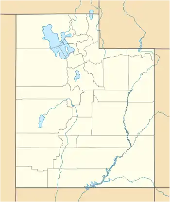 Beryl Location of Beryl within the State of Utah  Beryl Beryl (the United States) | |
| Coordinates: 37°53′45″N 113°39′41″W | |
| Country | United States |
| State | Utah |
| County | Iron |
| Named for | Beryl |
| Elevation | 5,154 ft (1,571 m) |
| Time zone | UTC-7 (Mountain (MST)) |
| • Summer (DST) | UTC-6 (MDT) |
| ZIP codes | 84714 |
| Area code(s) | 435 |
| GNIS feature ID | 1437500[1] |
Description
| Historical population | |||
|---|---|---|---|
| Census | Pop. | %± | |
| 1940 | 122 | — | |
| 1950 | 239 | 95.9% | |
| Source: U.S. Census Bureau[2] | |||
The community has one school, Escalante Valley Elementary, and it is part of the Iron County School District.[3] Originally established as a Union Pacific Railroad siding, Beryl was named in 1901 after the semi-precious stone beryl found in the area.[4]
The 2012 Beryl (ZIP 84714), population is 944. There are 2 people per square mile (population density). The median age is 31.6. The US median is 37.3. 57.63% of people in Beryl are married. 9.86% are divorced. The average household size is 3.13 people. 40.54% of people are married, with children. 6.31% have children, but are single.
Climate
According to the Köppen Climate Classification system, Beryl has a semi-arid climate, abbreviated "BSk" on climate maps.[5]
See also
![]() Utah portal
Utah portal
References
- "Beryl". Geographic Names Information System. United States Geological Survey.
- "Census of Population and Housing". United States Census Bureau. Archived from the original on 8 February 2006. Retrieved 4 Nov 2011.
- "Iron County Schools". irondistrict.org. Cedar City, Utah: Iron County School District. Retrieved 11 Feb 2018.
- Van Cott, John W. (1990). Utah Place Names: A Comprehensive Guide to the Origins of Geographic Names: A Compilation. Salt Lake City: University of Utah Press. p. 30. ISBN 978-0-87480-345-7. OCLC 797284427. Retrieved 11 Feb 2018.
- Climate Summary for Beryl, Utah
External links
![]() Media related to Beryl, Utah at Wikimedia Commons
Media related to Beryl, Utah at Wikimedia Commons
Municipalities and communities of Iron County, Utah, United States | ||
|---|---|---|
| Cities | 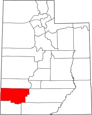 Map of Utah highlighting Iron County | |
| Towns | ||
| CDPs | ||
| Unincorporated communities | ||
| Ghost town | ||
| Indian reservation | ||
| Footnotes | ‡This populated place also has portions in an adjacent county or counties | |
| ||
| Authority control |
|
|---|