Blakenall Heath
Blakenall Heath is a suburban village of Bloxwich and Walsall, West Midlands, England. It straddles the border of Walsall and Bloxwich.
| Blakenall Heath | |
|---|---|
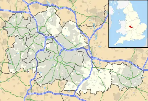 Blakenall Heath Location within the West Midlands | |
| Population | 12,022 (2011.Blakenall Ward)[1] |
| OS grid reference | SK004018 |
| Metropolitan borough | |
| Metropolitan county | |
| Region | |
| Country | England |
| Sovereign state | United Kingdom |
| Post town | Walsall |
| Postcode district | WS3 |
| Police | West Midlands |
| Fire | West Midlands |
| Ambulance | West Midlands |
It was originally a rural area north of Walsall with a small amount of private housing as recently as the beginning of the 20th century, but the face of the area changed dramatically from 1920 onwards.
Farmland gave way to council housing, which surrounded the local church and a few pre-1914 buildings, and further developments took place over the next few decades. Walsall borough's first council house was completed in Blakenall Heath, on Blakenall Lane, in June 1920. Within seven years, 500 council houses had been built in the area, and by 1939 more than 1,000 had been built in the Blakenall Heath, Harden and Goscote areas. Several hundred more had followed by the 1970s, including three tower blocks of flats which were built in the late 1950s.
These were divided between established neighbourhoods in areas like Blakenall Lane and Harden Road, and new housing estates with themed street names; including the 1930s Poet's Estate (where road names included Shakespeare Crescent, Goldsmith Road and Tennyson Road) and the Rivers Estate (where road names included Thames Road, Wye Road and Mersey Road) which was built in the late 1940s.
Blakenall Heath is the centre of the Blakenall ward of Walsall, which has traditionally had some of the highest poverty and crime rates in the Metropolitan Borough of Walsall, also including Harden, Goscote and Coal Pool.
The area was targeted for regeneration as part of the government's New Deal project from April 2001.
Between 2001 and 2006, some of the council housing around Blakenall Heath were demolished, including the whole of Taylor Avenue, the three late 1950s tower blocks, and large sections of Walker Road and Barracks Lane. Demolition has also taken place in neighbouring Harden and Goscote. New housing for the public and private sector has since been built.
The area is often confused with the Blakenall area of nearby Wolverhampton.
The parish church for Blakenall Heath is Christ Church, which is constructed from limestone and opened in 1872 when the surrounding area was still half a century away from its transformation from rural to urban.
| Wikimedia Commons has media related to Blakenall Heath. |