Brücken-Hackpfüffel
Brücken-Hackpfüffel is a municipality in the Mansfeld-Südharz district, Saxony-Anhalt, Germany. It was formed on 1 January 2009 by the merger of the former municipalities Brücken and Hackpfüffel.
Brücken-Hackpfüffel | |
|---|---|
Location of Brücken-Hackpfüffel within Mansfeld-Südharz district 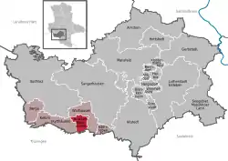 | |
 Brücken-Hackpfüffel 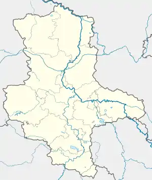 Brücken-Hackpfüffel | |
| Coordinates: 51°25′50″N 11°11′50″E | |
| Country | Germany |
| State | Saxony-Anhalt |
| District | Mansfeld-Südharz |
| Municipal assoc. | Goldene Aue |
| Government | |
| • Mayor | Michael Peckruhn |
| Area | |
| • Total | 16.65 km2 (6.43 sq mi) |
| Elevation | 140 m (460 ft) |
| Population (2019-12-31)[1] | |
| • Total | 982 |
| • Density | 59/km2 (150/sq mi) |
| Time zone | UTC+01:00 (CET) |
| • Summer (DST) | UTC+02:00 (CEST) |
| Postal codes | 06528 |
| Dialling codes | 034656 |
| Vehicle registration | MSH, EIL, HET, ML, SGH |
| Website | www.vwg-goldene-aue.de |
Geography
The municipality lies north-east of the Kyffhäuser mountain in the Goldene Aue. Sangerhausen, the capital of Mansfeld-Südharz county is only 8 kilometers from the village of Brücken. The area of Brücken-Hackpfüffel stretches from the Unstrut tributary Helme in the north to the border with Thüringia in the south.
Historical Population
Figures prior to 2009 are a sum of the two separate municipalities of Brücken and Hackpfüffel.
|
- Census
Data as of 31 December, except for census years.[2]
Towns and municipalities in the district of Mansfeld-Südharz | ||
|---|---|---|
Coat of arms | ||
References
- "Bevölkerung der Gemeinden – Stand: 31. Dezember 2019" (PDF). Statistisches Landesamt Sachsen-Anhalt (in German).
- https://www.stala.sachsen-anhalt.de/bevoelkerung/bewegungen/statistik/gem/bev.15087101.z2.html
| Authority control |
|
|---|
This article is issued from Wikipedia. The text is licensed under Creative Commons - Attribution - Sharealike. Additional terms may apply for the media files.