Broșteni, Suceava
Broșteni is a town in Suceava County, north-eastern Romania. It is situated in the historical region of Western Moldavia. Broșteni is the fourteenth largest urban settlement in the county, with a population of 5,388 inhabitants, according to the 2011 census. It was declared a town in 2004, along with seven other localities in Suceava County. The town administers the former villages of Hăleasa, Lungeni and Neagra (which became neighborhoods in 2004) and Cotârgași, Dârmoxa, Frasin, Holda, Holdița and Pietroasa (with the status of associated villages).
Broșteni | |
|---|---|
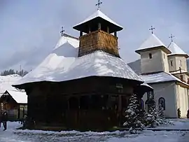 Saint Nicholas Wooden Church in Broșteni | |
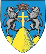
 Coat of arms | |
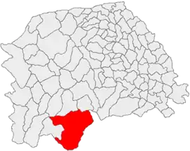 Location in Suceava County | |
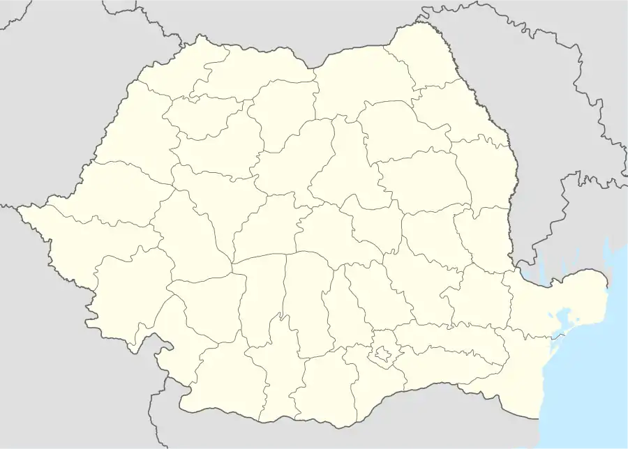 Broșteni Location in Romania | |
| Coordinates: 47°14′39″N 25°41′53″E | |
| Country | |
| County | Suceava |
| Government | |
| • Mayor | Nicu Chiriac[1] (PNL) |
| Area | 424.40 km2 (163.86 sq mi) |
| Population (2011)[2] | 5,506 |
| • Density | 13/km2 (34/sq mi) |
| Time zone | EET/EEST (UTC+2/+3) |
| Vehicle reg. | SV |
| Website | Official site |
| Year | Pop. | ±% |
|---|---|---|
| 2002 | 6,603 | — |
| 2011 | 5,388 | −18.4% |
| Source: Census data | ||
Broșteni is a former mining community located on the banks of Bistrița River, between Bistriței Mountains and Stânișoara Mountains. It administers a total area of 424.40 km² – the largest area being administered by a single locality in Suceava County. The national road between Vatra Dornei and Piatra Neamț is the main communication way for Broșteni, which is not connected to the national railway system.
References
- "Results of the 2016 local elections". Central Electoral Bureau. Retrieved 5 April 2020.
- "Populaţia stabilă pe judeţe, municipii, oraşe şi localităti componenete la RPL_2011" (in Romanian). National Institute of Statistics. Retrieved 4 February 2014.
External links
| Wikimedia Commons has media related to Broșteni. |
- (in Romanian) Broșteni Town Hall official site
- (in Romanian) The Local Police Station of Broșteni
- (in Romanian) A blog about Broșteni
- (in Romanian) Broșteni, orașul cu de-a sila – Newspaper article about Broșteni
- (in Romanian) Suceava County site – Broșteni web page