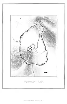
Casterley Camp
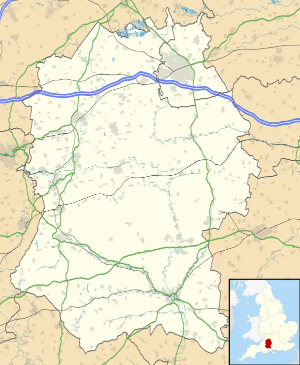
Casterley Camp is the site of an Iron Age univallate hillfort in Wiltshire, England, about 1 1⁄2 miles (2.4 km) southwest of the village of Upavon. The site comprises a large Iron Age/Romano-British enclosure, possibly non-defensive in function, and incomplete. It was partially excavated in the 19th century.
 Casterley Camp | |
 Shown within Wiltshire | |
| Location | Wiltshire |
|---|---|
| Coordinates | 51.2805°N 1.8365°W |
| Grid position | SU115535 |
| History | |
| Periods | Iron Age |
| Site notes | |
| Public access | yes |
Three apparently related enclosures are identified within the site of Casterley Camp. Stock control and religious functions have been attributed to the enclosures. There is also an Iron Age/Romano-British trackway on the west side of the site, with traces of earth banks on both sides. The site is a scheduled monument.[1]
There are public footpaths and bridleways to the north and west of the site. Since 1898, land immediately west and south has been part of the Salisbury Plain firing ranges.[2]
The site of a smaller Iron Age hill fort, Chisenbury Camp, lies on the other side of the River Avon valley, about 2 1⁄2 miles (4 km) to the east.[3]
References
- Historic England. "Casterley Camp and associated monuments (11010074)". National Heritage List for England. Retrieved 28 August 2020.
- Baggs, A.P.; Crowley, D.A.; Pugh, Ralph B.; Stevenson, Janet H.; Tomlinson, Margaret (1975). Crittall, Elizabeth (ed.). "Victoria County History: Wiltshire: Vol 10 pp159-173 – Parishes: Upavon". British History Online. University of London. Retrieved 28 August 2020.
- Historic England. "Chisenbury Camp (220236)". PastScape. Retrieved 28 August 2020.
See also
- List of hill forts in England