Chilli Qhata
Chilli Qhata (Aymara chilli deep, qhata knee pit,[2] "deep knee pit", also spelled Chillicata) is a 4,803-metre-high (15,758 ft) mountain in the Andes of Bolivia. It is situated in the Oruro Department, Sajama Province, at the border of the Curahuara de Carangas Municipality and the Turco Municipality. Chilli Qhata lies south-west of the mountain Q'aysiri and east of Janq'u Jaqhi.[1][3]
| Chilli Qhata | |
|---|---|
 Chilli Qhata Location in Bolivia | |
| Highest point | |
| Elevation | 4,803 m (15,758 ft) [1] |
| Coordinates | 18°04′04″S 68°23′16″W |
| Geography | |
| Location | Bolivia, Oruro Department, Sajama Province |
| Parent range | Andes |
References
- BIGM map 1:50,000 Estancia Marcarani 5939-IV
- Radio San Gabriel, "Instituto Radiofonico de Promoción Aymara" (IRPA) 1993, Republicado por Instituto de las Lenguas y Literaturas Andinas-Amazónicas (ILLLA-A) 2011, Transcripción del Vocabulario de la Lengua Aymara, P. Ludovico Bertonio 1612 (Spanish-Aymara-Aymara-Spanish dictionary) (see: Hondo de la tierra y agua.
- "Turco". Archived from the original on March 3, 2016. Retrieved November 10, 2014.
Capital: Oruro | ||
| Provinces | 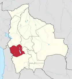 | |
| Municipalities (and seats) |
| |
This article is issued from Wikipedia. The text is licensed under Creative Commons - Attribution - Sharealike. Additional terms may apply for the media files.