Chitgoppa
Chittaguppa is a city and tehsil in the Bidar district of Karnataka. Up until 2017, the city was under the administration of Humnabad. Chitguppa is divided into 23 wards.[1] It is 15 kilometres (9.3 mi) from Humnabad and 147 kilometres (91 mi) from Hyderabad.[2] The city is known for having the largest marketplace in the Bidar district and its corn production. An airport for Bidar and Kalaburagi was proposed in Chitgoppa, but the plan was cancelled due to high land acquisition costs and insufficient connectivity via road and rail.
Chittaguppa | |
|---|---|
| Nicknames: Moinabad | |
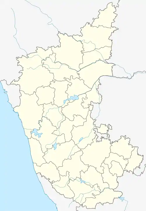 Chittaguppa Location in Karnataka, India | |
| Coordinates: 17.69°N 77.45°E | |
| Country | |
| State | Karnataka |
| District | Bidar |
| Date established | 2017 |
| Government | |
| • Type | Town Municipal Council |
| • Body | Chittaguppa Town Municipal Council |
| Area | |
| • Total | 6 km2 (2 sq mi) |
| Elevation | 607 m (1,991 ft) |
| Population (2019) | |
| • Total | 46,943 |
| • Rank | 1 |
| • Density | 7,800/km2 (20,000/sq mi) |
| Demonym(s) | Chittaguppinavaru |
| Languages | |
| • Official | Kannada |
| Time zone | UTC+5:30 (IST) |
| PIN | 585 412 |
| Telephone code | 08483 |
| Vehicle registration | KA 78 |
| Website | www.chittaguppatown.mrc.gov.in |
History
The Chitgoppa area, formerly known as the Chitgoppa Empire, was formerly under the control of the Nizams who established Sadar Diwani Adalat and Moffusil as their courts.[3] Patwardhan Saheb was the first President of the Chitguppa municipality and Kishan Rao Saheb was the President of the Municipality for three consecutive terms until he voluntarily stepped down.[4]
The town has two Muslim dargahs (dedicated to Salar Makdum and Karimullah) where the annual Urs (prayer meetings) are held. Every year in August a fair is held for the Hindu god Baloba. A marble statue of a Hindu saint Mahadevappe Devarshi has been installed in a monastery named after him in the town.
Geography
Chitguppa is divided into 23 wards.[1] It is 15 kilometres (9.3 mi) from Humnabad and 147 kilometres (91 mi) from Hyderabad. Coordinates are 17.6979° N, 77.2155° E. Area of 2.317 mi².
Demographics
According to the 2011 Census of India,[1] Chitgoppa had a population of 25,298: males constituted 51% of the population and females 49%. 13.33% of the population was under six years of age. Chitguppa had an average literacy rate of 71.88%, lower than the state average of 75.36%, with male literacy at 77.76% and female literacy at 65.75%. The Chitgoppa Town Municipal Council oversaw over 4,445 houses, to which it supplied basic amenities.
