Humnabad
Humnabad is a city and municipal council in the Bidar District of the Indian state of Karnataka and the city is the headquarters of Humnabad taluk.[1]
Humnabad | |
|---|---|
city | |
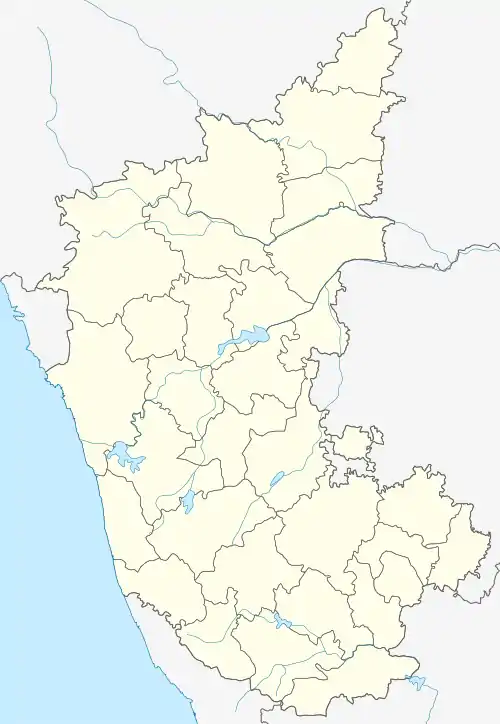 Humnabad Location in Karnataka, India | |
| Coordinates: 17.77°N 77.13°E | |
| Country | |
| State | Karnataka |
| District | Bidar |
| Government | |
| • Type | Humnabad Town |
| • Body | Municipal Council |
| • MLA | Rajashekhar Basavaraj Patil |
| Area | |
| • Total | 24 km2 (9 sq mi) |
| Elevation | 638 m (2,093 ft) |
| Population (2011) | |
| • Total | 84,561 |
| • Density | 3,500/km2 (9,100/sq mi) |
| Demonym(s) | HBDians, Humnabadnivaru |
| Languages | |
| • Regional & Official Languages | Kannada, Hindi Urdu, Marathi |
| Time zone | UTC+5:30 (IST) |
| Pin code | 585330 |
| Vehicle registration | KA-39 |
| Nearest City | Bidar |
Geography
Humnabad is located at 17.77°N 77.13°E.[2] It has an average elevation of 638 metres (2093 feet).
Demographics
As of 2011, the India census[3] Humnabad had a population of 44,561. Males constituted 52% of the population and females 48%. Kannada is the most spoken language of Humnabad.
Significance
Humnabad is known for its rich heritage of temples and proximity to Andhra Pradesh and Maharashtra. It is known for Shri Veerabhadreshwar Temple,[4] Jai Bhavani Temple, Shri Manik Prabhu Devasthanam temple is dedicated to a great ascetic.
Religious Centers
The Manik Prabhu Temple is located on the confluence of two holy rivulets Viraja and Guru Ganga , Banashankari Temple in Nandgaon village. Every year on 26 January, 12 days Shri Veerbhadreshwara[5] jatra Mohotsav is celebrated devotees visit and take darshan many people come from of Maharashtra (MH), Andhra, Telangana and North Karnataka.[6]
Transport
Humnabad is connected by two national highways NH-65 and State Highway NH-218. In fact, NH 218 begins from Humnabad itself. Now, NH-9 is rechristened as NH-65. Also, new railway line is laid from Bidar to Gulbarga and regular train services have started from Bidar to Gulbarga via Humanabad.[7][8]
See also
References
- District Census Handbook, Series 14, Mysore: Bidar. Govt. Press, 1973.
- Falling Rain Genomics, Inc - Homnabad
- "Census of India 2001: Data from the 2011 Census, including cities, villages and towns (Provisional)". Census Commission of India. Archived from the original on 16 June 2004. Retrieved 1 November 2008.
- "ವೀರಭದ್ರನ ಐತಿಹಾಸಿಕ ರಥೋತ್ಸವ". vijayavani.net. Retrieved 4 March 2018.
- "Amit Shah emulates Rahul Gandhi's temple run, visits religious places - Times of India". The Times of India. Retrieved 7 April 2018.
- "ವೀರಭದ್ರೇಶ್ವರ ಜಾತ್ರೆಗೆ ಸಂಭ್ರಮದ ಚಾಲನೆ - Vijaykarnataka". Vijaykarnataka (in Kannada). 17 January 2015. Retrieved 7 April 2018.
- "South Central Railways to chug on electricity". www.deccanchronicle.com. Retrieved 4 March 2018.
- "Bidar, Gulbarga DEMU train service from Monday". thehindu.com. Retrieved 4 March 2018.