Clachtoll
Clachtoll (Scottish Gaelic: Clach Toll) is a coastal fishing and crofting village, situated on the Bay of Clachtoll, on the north western edge of Scotland, in the ancient parish of Assynt.[1] It is in the postal district of Lairg, Sutherland, Scottish Highlands (a larger village some fifty miles inland) and lies in the County of Sutherland and in the Scottish council area of Highland.
Clachtoll
| |
|---|---|
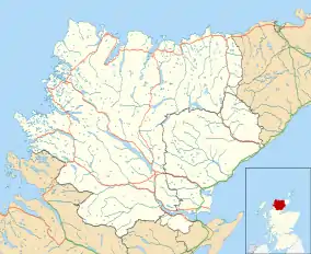 Clachtoll Location within the Sutherland area | |
| OS grid reference | NC039269 |
| Council area | |
| Country | Scotland |
| Sovereign state | United Kingdom |
| Post town | Lairg |
| Postcode district | IV27 4 |
| Police | Scotland |
| Fire | Scottish |
| Ambulance | Scottish |
Its name derives from the Gaelic and refers to the very large broken rock, the remains of a natural arch. (Gaelic: "clach" is "rock" and "toll" means "hole", "cavity" etc.) on the headland nearby.
References
- "Clachtoll". The Gazetteer for Scotland. School of GeoSciences, University of Edinburgh and The Royal Scottish Geographical Society. Retrieved 17 June 2018.
| Wikimedia Commons has media related to Clachtoll. |
This article is issued from Wikipedia. The text is licensed under Creative Commons - Attribution - Sharealike. Additional terms may apply for the media files.
