Copán Ruinas Airport
Copán Ruinas Airport (IATA: RUY, ICAO: MHRU) is a newly completed airport serving the town of Copán Ruinas in Honduras. The runway is approximately 20 kilometres (12 mi) east of the town.
Copán Ruinas International Airport Rio Amarillo Airport | |||||||||||
|---|---|---|---|---|---|---|---|---|---|---|---|
| Summary | |||||||||||
| Airport type | Public | ||||||||||
| Serves | Copán Ruinas | ||||||||||
| Elevation AMSL | 2,336 ft / 712 m | ||||||||||
| Coordinates | 14°55′00″N 89°00′28″W | ||||||||||
| Map | |||||||||||
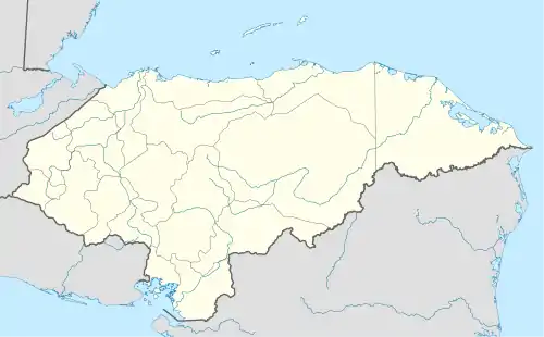
 RUY Location of the airport in Honduras | |||||||||||
| Runways | |||||||||||
| |||||||||||
The airport was opened in 2015, and is expected to provide easier tourist access to the Mayan ruins at Copán.[3] A second construction phase is planned that will allow aircraft with up to 100 passengers to land.[4][5]
There are low hills in all quadrants.
The Puerto Barrios VOR-DME (Ident: IOS) is located 55.0 nautical miles (102 km) north-northeast of the airport.[6]
See also
 Aviation portal
- Transport in Honduras
- List of airports in Honduras
References
- Airport information for Copán Ruinas Airport at Great Circle Mapper.
- Google Maps - Copán Ruinas
- Copán Runway Opened
- Lifting Up Copán Ruinas
- Honduras: The New Airport in Copan
- "Puerto Barrios VOR". Our Airports. Retrieved 17 October 2018.
External links
- FallingRain - Copán Ruinas
- OpenStreetMaps - Copán Ruinas
- OurAirports - Copán Ruinas
- Accident history for Copán Airport at Aviation Safety Network
This article is issued from Wikipedia. The text is licensed under Creative Commons - Attribution - Sharealike. Additional terms may apply for the media files.