Tela Airport
Tela Airport (Spanish: Aeropuerto de Tela) (IATA: TEA, ICAO: MHTE) is an airport serving Tela, a town in the Atlántida Department on the northern coast of Honduras.
Tela Airport Aeropuerto de Tela | |||||||||||
|---|---|---|---|---|---|---|---|---|---|---|---|
| Summary | |||||||||||
| Airport type | Public | ||||||||||
| Serves | Tela, Honduras | ||||||||||
| Elevation AMSL | 7 ft / 2 m | ||||||||||
| Coordinates | 15°46′35″N 87°28′30″W | ||||||||||
| Map | |||||||||||
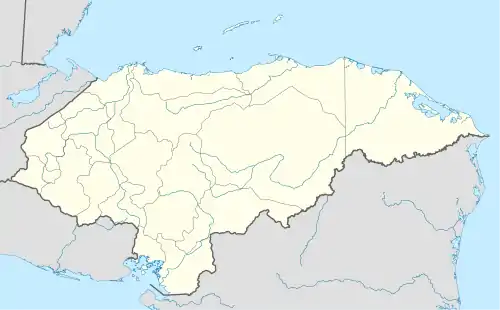
 TEA Location in Honduras | |||||||||||
| Runways | |||||||||||
| |||||||||||
In 2009, plans were laid to lengthen the runway from 1,346 metres (4,416 ft) to 1,600 metres (5,200 ft) and possibly to construct a new terminal building.[4] Construction began in 2014 and was estimated to cost US$13 million.[5]
After completion, the new runway and terminal were inaugurated by Honduras President Juan Orlando Hernández on May 20, 2015.[6]
There are hills southeast of the runway. Northeast approach and departure are over the water.
The La Mesa VOR-DME (Ident: LMS) is located 31.0 nautical miles (57.4 km) southwest of the airport. The Bonito VOR-DME (Ident: BTO)is located 35.4 nautical miles (65.6 km) east of the airport.[7][8]
See also
 Aviation portal
- List of airports in Honduras
- Transport in Honduras
References
- Airport information for Tela Airport at Great Circle Mapper.
- Google Maps - Tela, 2014 image
- "Tela Airport". SkyVector. Retrieved 20 October 2018.
- Honduras To Enable Airfield in Tela
- Tela Airport investment
- Tela Airport inauguration
- "La Mesa VOR". Our Airports. Retrieved 20 October 2018.
- "Bonito VOR". Our Airports. Retrieved 20 October 2018.
External links
- Current weather for Tela, Honduras at NOAA/NWS
- OurAirports - Tela Airport
- OpenStreetMap - Tela
- Accident history for Tela Airport at Aviation Safety Network
