Trujillo Airport
Trujillo Airport (Spanish: Aeropuerto de Trujillo) (IATA: TJI, ICAO: MHTJ) is an airport serving Trujillo, a municipality in the Colón Department on the northern coast of Honduras.
Trujillo Airport Aeropuerto de Trujillo | |||||||||||
|---|---|---|---|---|---|---|---|---|---|---|---|
| Summary | |||||||||||
| Airport type | Military/Public | ||||||||||
| Serves | Trujillo, Honduras | ||||||||||
| Elevation AMSL | 3 ft / 1 m | ||||||||||
| Coordinates | 15°55′37″N 085°56′18″W | ||||||||||
| Map | |||||||||||
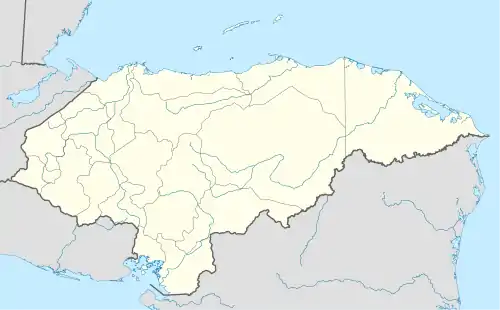 TJI Location in Honduras | |||||||||||
| Runways | |||||||||||
| |||||||||||
The airport parallels the coastline, roughly 100 metres (330 ft) inland from the shore. Numerous houses and hotels use the runway for access to the city.
Facilities
The airport is at an elevation of 3 feet (1 m) above mean sea level. It has one runway designated 06/24 with an asphalt surface measuring 1,071 m × 29 m (3,514 ft × 95 ft).[1]
The Punta Castilla non-directional beacon (Ident: CTL) is located 5.2 nautical miles (9.6 km) north-northwest of Trujillo Airport. The Roatan VOR-DME (Ident: ROA) is located 41.0 nautical miles (75.9 km) northwest of the airport.[5][6]
Airlines
| Airlines | Destinations |
|---|---|
| Aviac | La Ceiba, Puerto Lempira |
References
- Airport information for Trujillo Airport at World Aero Data. Data current as of October 2006.
- Airport information for Trujillo Airport at Great Circle Mapper.
- Google Maps - Trujillo
- "Trujillo Airport". SkyVector. Retrieved 20 October 2018.
- "Punta Castilla NDB". Our Airports. Retrieved 20 October 2018.
- "Roatan VOR". Our Airports. Retrieved 20 October 2018.
External links
- Accident history for Trujillo-Capiro Airport at Aviation Safety Network
- OpenStreetMaps - Trujillo
- OurAirports - Trujillo Airport
This article is issued from Wikipedia. The text is licensed under Creative Commons - Attribution - Sharealike. Additional terms may apply for the media files.