Cottonwood, Coal County, Oklahoma
Cottonwood is an unincorporated community in Coal County, Oklahoma, United States.[1] It is located two miles northeast of Coalgate.[2] A post office operated in Cottonwood from April 1, 1914 to December 31, 1914.[2]
Cottonwood, Oklahoma | |
|---|---|
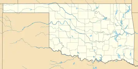 Cottonwood Location within the state of Oklahoma  Cottonwood Cottonwood (the United States) | |
| Coordinates: 34°33′21″N 96°12′14″W | |
| Country | United States |
| State | Oklahoma |
| County | Coal |
| Elevation | 604 ft (184 m) |
| Time zone | UTC-6 (Central (CST)) |
| • Summer (DST) | UTC-5 (CDT) |
| GNIS feature ID | 1091706 |
References
- U.S. Geological Survey Geographic Names Information System: Cottonwood, Coal County, Oklahoma
- Shirk, George. Oklahoma Place Names, 2nd ed. University of Oklahoma Press: Norman, Oklahoma. 1987. p.60.
Municipalities and communities of Coal County, Oklahoma, United States | ||
|---|---|---|
| Cities | 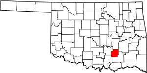 Coal County map | |
| Towns | ||
| Unincorporated communities | ||
| Indian reservations | ||
| Footnotes | ‡This populated place also has portions in an adjacent county or counties | |
| ||
This article is issued from Wikipedia. The text is licensed under Creative Commons - Attribution - Sharealike. Additional terms may apply for the media files.