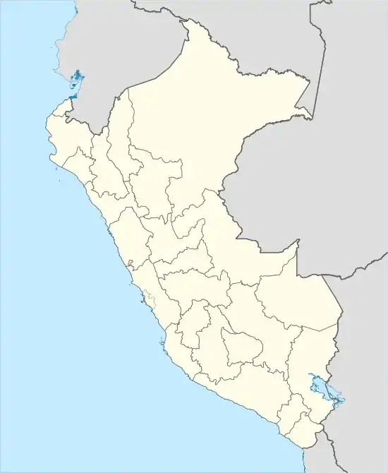
Coviriali District
Coviriali District is one of nine districts of Satipo Province in the Department of Junín, Peru.[1] The town of Coviriali, the capital of the district, had a population of 338 in 2017[2] and is located 4 kilometres (2.5 mi) south of the provincial capital of Satipo.
Coviriali | |
|---|---|
 Coviriali Location in Peru | |
| Coordinates: 11°17′28″S 74°37′41″W | |
| Country | |
| Region | Junín |
| Province | Satipo |
| Founded | March 26, 1965 |
| Capital | Coviriali |
| Area | |
| • Total | 97.6 km2 (37.7 sq mi) |
| Elevation | 675 m (2,215 ft) |
| Population (2017 census) | |
| • Total | 6,248 |
| • Density | 64/km2 (170/sq mi) |
| Time zone | UTC-5 (PET) |
| UBIGEO | 120602 |
| Website | "City Population," , accessed 7 Aug 2020 |
| "Coviriali". City Population. Retrieved 7 Aug 2020. | |
Coviriali has a tropical rainforest climate similar to that of nearby Satipo. The annual average temperature in Satipo, which varies little from month to month, is 22.9 °C (73.2 °F) and annual precipitation is 1,879 millimetres (74.0 in). Precipitation is adequate in all months although less is received in the austral winter months of June through August. [3] Coviriali's climate under the Köppen Classification is Af (borderline Am, tropical monsoon). In the mountains of the district the climate above about 1,500 metres (4,900 ft) in elevation becomes Cfb (sub-tropical, warm but not hot year round).
References

- (in Spanish) Instituto Nacional de Estadística e Informática. Banco de Información Distrital Archived April 23, 2008, at the Wayback Machine. Retrieved April 11, 2008.
- Coviriali. "Peru: Junin Region". Retrieved 7 Aug 2020.
- "Satipo". Weatherbase.