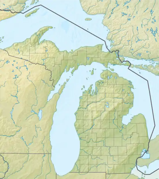
Crooked Lake (Independence Township, Michigan)
Crooked Lake is a 68-acre lake along the Clinton River.[2] The lake, with a maximum depth of 65 feet, lies within Independence Township in Oakland County, Michigan.[3]
| Crooked Lake | |
|---|---|
 Crooked Lake | |
| Location | Oakland County, Michigan |
| Coordinates | 42.777252°N 83.393555°W |
| Basin countries | United States |
| Surface area | 68 acres (28 ha) |
| Max. depth | 65 ft (20 m) |
| Surface elevation | 293 meters (961 feet)[1] |
| Settlements | Independence Township |
The lake is located east of Sashabaw Road and south of Shappie Road.
Crooked Lake connects upstream to Upper Bushman Lake
Crooked Lake was formerly named Lower Bushman Lake.
Fish
Crooked Lake does not have a catch-and-release policy like nearby Upper Bushman Lake. Fish in Crooked Lake include pickerel, yellow perch, largemouth bass, pumpkinseed sunfish, northern pike and crappie.[4]
References
- "Deer Lake Map - Oakland County, Michigan - Mapcarta". mapcarta.com. Retrieved 2016-08-13.
- Russ Ravary248-310-6239Keller Williams Realty. "Russ Ravary with Russ Ravary: Crooked Lake Oakland County Michigan". Michiganlakerealestatehomes.com. Retrieved 2016-06-12.
- "Crooked Lake - Oakland County Michigan". LakePlace.com. Retrieved 2016-06-12.
- "Destination Oakland - Oakland County, Michigan". destinationoakland.com. Archived from the original on 2016-08-19. Retrieved 2016-08-13.
This article is issued from Wikipedia. The text is licensed under Creative Commons - Attribution - Sharealike. Additional terms may apply for the media files.
