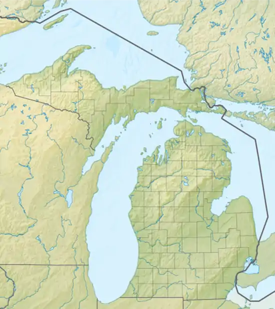
Upper Bushman Lake (Independence Township, Michigan)
Upper Bushman Lake is a 30-acre lake along the Clinton River.[2] The lake, with a maximum depth of 32 feet, lies within Independence Township in Oakland County, Michigan.[3]
| Upper Bushman Lake | |
|---|---|
 Upper Bushman Lake | |
| Location | Oakland County, Michigan |
| Coordinates | 42.788918°N 83.377998°W |
| Basin countries | United States |
| Surface area | 30 acres (12 ha) |
| Max. depth | 32 ft (9.8 m) |
| Surface elevation | 293 meters (961 feet)[1] |
| Settlements | Independence Township |
The lake is located east of Sashabaw Road, south of Oak Hill Road, within the Independence Oaks County Park.[4]
Upper Bushman Lake connects downstream to Crooked Lake
References
- "Deer Lake Map - Oakland County, Michigan - Mapcarta". mapcarta.com. Retrieved 2016-08-13.
- Russ Ravary248-310-6239Keller Williams Realty. "Russ Ravary with Russ Ravary: Upper Bushman Lake Oakland County Michigan". Michiganlakerealestatehomes.com. Retrieved 2016-06-12.
- "Upper Bushman Lake - Oakland County Michigan". LakePlace.com. Retrieved 2016-06-12.
- "Destination Oakland - Oakland County, Michigan". destinationoakland.com. Retrieved 2016-08-13.
This article is issued from Wikipedia. The text is licensed under Creative Commons - Attribution - Sharealike. Additional terms may apply for the media files.
