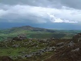
Croughaun Hill
Croughaun Hill (Irish: Cruachán Paorach or Cruachán)[3] is a hill in north County Waterford, Ireland. It is a largely solitary hill to the east of the Comeragh Mountains.[4]
| Croughaun Hill | |
|---|---|
 | |
| Highest point | |
| Elevation | 391 m (1,283 ft) [1] |
| Prominence | 225 m (738 ft) [2] |
| Coordinates | 52°15′02″N 7°26′56″W |
| Naming | |
| Native name | Cruachán Paorach (Irish) |
| Geography | |
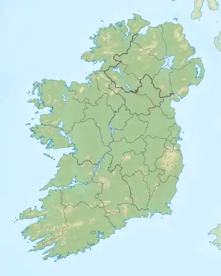 Croughaun Hill Location in Ireland | |
| Parent range | Comeragh Mountains |
| OSI/OSNI grid | S379110 |
Geography
The hill has a conical shape, and is geologically composed of conglomerates, sandstone and siltstone which are dated to the Devonian period.[4]
Villages in the surrounding hinterland include Fews, Clonea-Power and Rathgormack.
References
- "Croughaun Hill [Cruachan Paorach]". Hill Bagging (Database of British and Irish Hills). Retrieved 20 November 2020.
- "Croughaun Hill". MountainViews.ie. Retrieved 7 January 2017.
- "Cruachán / Croughaun Hill". logainm.ie. Irish Placenames Commission. Retrieved 20 November 2020.
- "Waterford - County Geological Site Report - Croughaun Hill" (PDF). dccae.gov.ie. Department of the Environment. Retrieved 20 November 2020.
This article is issued from Wikipedia. The text is licensed under Creative Commons - Attribution - Sharealike. Additional terms may apply for the media files.