Davis, North Carolina
Davis is an unincorporated area and census-designated place (CDP) in Carteret County, North Carolina, United States. As of the 2010 census it had a population of 422.[3]
Davis, North Carolina | |
|---|---|
 Davis | |
| Coordinates: 34°47′52″N 76°27′35″W | |
| Country | United States |
| State | North Carolina |
| County | Carteret |
| Area | |
| • Total | 2.19 sq mi (5.68 km2) |
| • Land | 2.18 sq mi (5.65 km2) |
| • Water | 0.01 sq mi (0.03 km2) |
| Elevation | 5 ft (2 m) |
| Population (2010) | |
| • Total | 422 |
| • Density | 193/sq mi (74.7/km2) |
| Time zone | UTC-5 (Eastern (EST)) |
| • Summer (DST) | UTC-4 (EDT) |
| ZIP code | 28524 |
| Area code(s) | 252 |
| FIPS code | 37-16480[1] |
| GNIS feature ID | 0983982[2] |
Geography
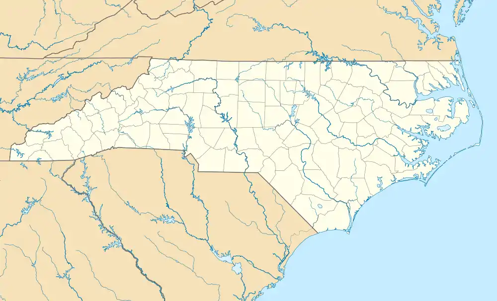
Davis is located east of the center of Carteret County, on the northwest shore of Core Sound, between Jarrett Bay to the west and Oyster Creek to the northeast. To the southeast, across Core Sound, is Core Banks, a barrier island that is part of Cape Lookout National Seashore, with access by ferry from Davis. U.S. Route 70 passes through the town, leading southwest 18 miles (29 km) to Beaufort and northeast 13 miles (21 km) to its eastern terminus at Atlantic.
The Davis CDP has a total area of 2.2 square miles (5.7 km2), of which 0.01 square miles (0.03 km2), or 0.59%, is water.[3]
References
- "U.S. Census website". United States Census Bureau. Retrieved 2008-01-31.
- "US Board on Geographic Names". United States Geological Survey. 2007-10-25. Retrieved 2008-01-31.
- "Geographic Identifiers: 2010 Demographic Profile Data (G001): Davis CDP, North Carolina". U.S. Census Bureau, American Factfinder. Archived from the original on February 12, 2020. Retrieved December 24, 2014.
Municipalities and communities of Carteret County, North Carolina, United States | ||
|---|---|---|
| Towns | 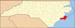 | |
| CDPs | ||
| Other unincorporated communities | ||
| Ghost towns | ||
| ||