Marshallberg, North Carolina
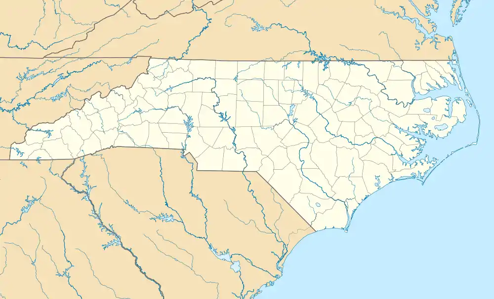
Marshallberg is an unincorporated area and census-designated place (CDP) in Carteret County, North Carolina, United States. As of the 2010 census it had a population of 403.[3] It lies on the mainland, directly across Core Sound from Harkers Island and Cape Lookout beyond that. Lying at the extreme southeast corner of a peninsula, it is isolated from other Carteret County communities and only a single road connects it to the rest of the state.
Marshallberg, North Carolina | |
|---|---|
 Marshallberg | |
| Coordinates: 34°43′30″N 76°31′1″W | |
| Country | United States |
| State | North Carolina |
| County | Carteret |
| Area | |
| • Total | 0.64 sq mi (1.67 km2) |
| • Land | 0.64 sq mi (1.65 km2) |
| • Water | 0.008 sq mi (0.02 km2) |
| Elevation | 6 ft (2 m) |
| Population (2010) | |
| • Total | 403 |
| • Density | 633/sq mi (244.3/km2) |
| Time zone | UTC-5 (Eastern (EST)) |
| • Summer (DST) | UTC-4 (EDT) |
| ZIP code | 28553 |
| Area code(s) | 252 |
| FIPS code | 37-41600[1] |
| GNIS feature ID | 0989384[2] |
Geography
Marshallberg is located east of the center of Carteret County, bounded on the east by Core Sound, on the south by The Straits, on the west by Sleepy Creek, and on the northeast by Great Marsh Creek. The community of Gloucester is to the west across Sleepy Creek. The town of Beaufort is 7 miles (11 km) to the west by water and 15 miles (24 km) by road.
The Marshallberg CDP has a total area of 0.66 square miles (1.7 km2), of which 0.01 square miles (0.02 km2), or 0.97%, is water.[3]
References
- "U.S. Census website". United States Census Bureau. Retrieved 2008-01-31.
- "US Board on Geographic Names". United States Geological Survey. 2007-10-25. Retrieved 2008-01-31.
- "Geographic Identifiers: 2010 Demographic Profile Data (G001): Marshallberg CDP, North Carolina". U.S. Census Bureau, American Factfinder. Archived from the original on February 12, 2020. Retrieved December 26, 2014.
External links
Municipalities and communities of Carteret County, North Carolina, United States | ||
|---|---|---|
| Towns | 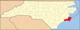 | |
| CDPs | ||
| Other unincorporated communities | ||
| Ghost towns | ||
| ||