Deerfield Valley Regional Airport
Deerfield Valley Regional Airport (FAA LID: 4V8) (formerly Mount Snow Airport) was a privately owned, public use airport located one nautical mile (2 km) southwest of the central business district of West Dover, in Windham County, Vermont, United States.[1]
Deerfield Valley Regional Airport | |||||||||||
|---|---|---|---|---|---|---|---|---|---|---|---|
| Summary | |||||||||||
| Airport type | Public use | ||||||||||
| Owner | Deerfield Valley Regional Airport, LLC | ||||||||||
| Serves | West Dover, Vermont | ||||||||||
| Location | Windham County, Vermont | ||||||||||
| Elevation AMSL | 1,953 ft / 595 m | ||||||||||
| Coordinates | 42°55′38″N 072°51′56″W | ||||||||||
| Website | deerfieldvalleyairport.com | ||||||||||
| Map | |||||||||||
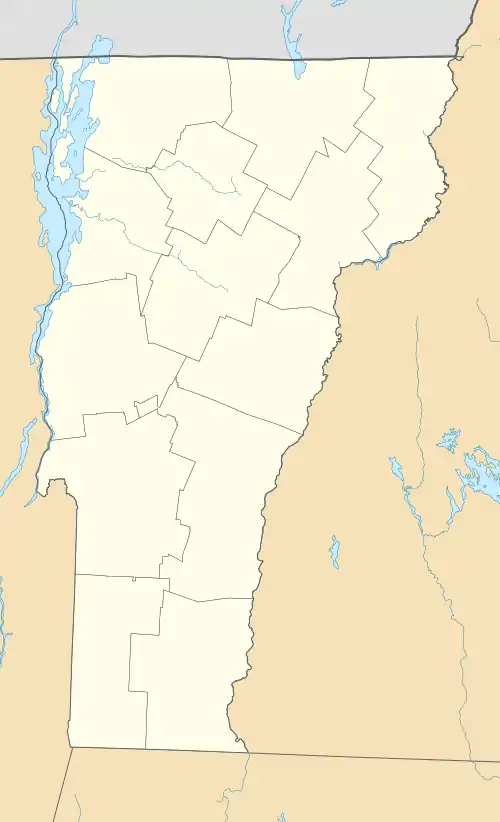 4V8 Location of airport in Vermont | |||||||||||
| Runways | |||||||||||
| |||||||||||
| Statistics (2013) | |||||||||||
| |||||||||||
Located within 5 miles of the airport is the Hermitage Club and the Hermitage Golf Course, as well as numerous dining establishments, and Mount Snow which is 10 minutes away by car.
The airport was permanently closed by FAA NOTAM.
Facilities and aircraft
The airport covers an area of 35 acres (14 ha) at an elevation of 1,953 feet (595 m) above mean sea level. It has one runway designated 1/19 with an asphalt surface measuring 2,650 by 75 feet (808 x 23 m).[1]
For the 12-month period ending July 8, 2013, the airport had 3,100 general aviation aircraft operations, an average of 258 per month. At that time there were seven aircraft based at this airport: 5 (71%) single-engine and 2 (29%) multi-engine.[1]
Scheduled Services
Seasonal passenger service is provided by Tradewind Aviation which operates 8-seat turbo prop service out of White Plains, NY.
References
- FAA Airport Form 5010 for 4V8 PDF. Federal Aviation Administration. Effective February 6, 2014.
External links
- Deerfield Valley Airport, official website
- Aerial image as of May 1992 from USGS The National Map
- FAA Terminal Procedures for 4V8, effective December 31, 2020
- Resources for this airport:
- FAA airport information for 4V8
- AirNav airport information for 4V8
- FlightAware airport information and live flight tracker
- SkyVector aeronautical chart for 4V8