Dema, Kentucky
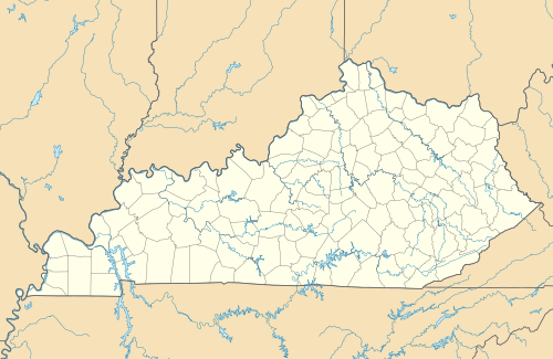
Dema is an unincorporated community in Floyd and Knott counties in the U.S. state of Kentucky.[1] The community is located on Kentucky Route 7 1.7 miles (2.7 km) south of Wayland. Dema has a post office with ZIP code 41845.[2][3]
Dema, Kentucky | |
|---|---|
 Dema  Dema | |
| Coordinates: 37°25′13″N 82°48′19″W | |
| Country | United States |
| State | Kentucky |
| County | Floyd, Knott |
| Elevation | 774 ft (236 m) |
| Time zone | UTC-5 (Eastern (EST)) |
| • Summer (DST) | UTC-4 (EDT) |
| ZIP code | 41845 |
| Area code(s) | 606 |
| GNIS feature ID | 507842[1] |
References
- "Dema". Geographic Names Information System. United States Geological Survey.
- United States Postal Service. "USPS - Look Up a ZIP Code". Retrieved April 14, 2017.
- "Postmaster Finder - Post Offices by ZIP Code". United States Postal Service. Retrieved April 14, 2017.
Municipalities and communities of Floyd County, Kentucky, United States | ||
|---|---|---|
| Cities | 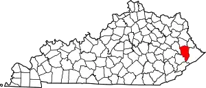 Location of Floyd County, Kentucky | |
| CDPs | ||
| Other unincorporated communities |
| |
| Footnotes | ‡This populated place also has portions in an adjacent county or counties. | |
| ||
Municipalities and communities of Knott County, Kentucky, United States | ||
|---|---|---|
| Cities | 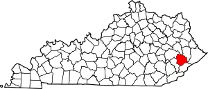 Location of Knott County, Kentucky | |
| Unincorporated communities | ||
| Footnotes | ‡This populated place also has portions in an adjacent county or counties. | |
| ||
This article is issued from Wikipedia. The text is licensed under Creative Commons - Attribution - Sharealike. Additional terms may apply for the media files.