Denhoff, North Dakota
Denhoff (/ˈdɛnhɔːf/) is an unincorporated community and census-designated place in central Sheridan County, North Dakota, United States. The community was designated as part of the U.S. Census Bureau's Participant Statistical Areas Program on March 31, 2010.[4] It was not counted separately during the 2000 Census,[5] but was included in the 2010 Census,[6] where a population of 20 was reported.[2]
Denhoff | |
|---|---|
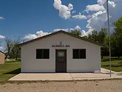 Building in Denhoff | |
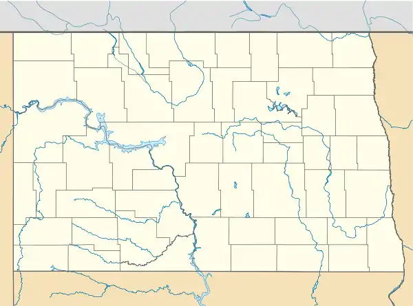 Denhoff Location within the state of North Dakota | |
| Coordinates: 47°29′00″N 100°15′44″W | |
| Country | United States |
| State | North Dakota |
| County | Sheridan |
| Area | |
| • Total | 0.658 sq mi (1.70 km2) |
| • Land | 0.658 sq mi (1.70 km2) |
| • Water | 0 sq mi (0 km2) |
| Elevation | 2,031 ft (619 m) |
| Population | |
| • Total | 20 |
| • Density | 30/sq mi (12/km2) |
| Time zone | UTC-6 (Central (CST)) |
| • Summer (DST) | UTC-5 (CDT) |
| ZIP codes | 58430 |
| Area code(s) | 701 |
| FIPS code[3] | 38-19060 |
| GNIS feature ID[3] | 2584340 |
It lies along North Dakota Highway 200, east of the city of McClusky, the county seat of Sheridan County.[4] The post office no longer exists. There are no businesses left in town,[7] and a church, as well as nine inhabited houses sheltering a population of 17. In 2009, a seed packaging plant began operations in Denhoff as well.
Historically, Denhoff functioned as a service town for the regional farming community, which began to decline after the 1960s. In the 1950s, its population reached its maximum of over 350 residents, and in addition to the post office and church, services consisted of a school, a gas station, and a bar. The expansion of corporately-managed large farms during the 1970s led to a major loss of population to unemployment in both Denhoff and the surrounding countryside, which in turn led to closure of most of the service operations and further loss of populace.
References
- "US Gazetteer files: 2010, 2000, and 1990". United States Census Bureau. 2011-02-12. Retrieved 2011-04-23.
- "2010 Census Redistricting Data (Public Law 94-171) Summary File". American FactFinder. United States Census Bureau. Retrieved May 2, 2011.
- "US Board on Geographic Names". United States Geological Survey. 2007-10-25. Retrieved 2008-01-31.
- "Denhoff Census Designated Place". Geographic Names Information System. United States Geological Survey. Retrieved 2010-07-13.
- U.S. Census Bureau (2003). "Population and Housing Unit Counts, North Dakota" (PDF). 2000 Census of Population and Housing. Government Printing Office. Retrieved 2008-07-20.
- U.S. Census Bureau (February 13, 2008). "Census Designated Place (CDP) Program for the 2010 Census—Final Criteria" (PDF). Federal Register. Archived from the original (PDF) on May 8, 2009. Retrieved 2010-07-13.
- Zip Code Lookup
Municipalities and communities of Sheridan County, North Dakota, United States | ||
|---|---|---|
| Cities | 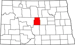 Map of North Dakota highlighting Sheridan County | |
| Townships |
| |
| CDP | ||
| Unorganized territories |
| |
| Unincorporated community |
| |
| ||
| Authority control |
|
|---|