Denvilles
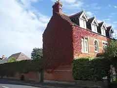
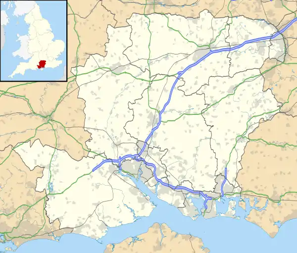
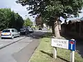
Denvilles is a locality within Havant to the north of Warblington railway station.[1] In 1877 it consisted of a solitary farm[2] but by 1897 there were several roads of detached residences.[3] Slowly the area grew, and in the 1960s it doubled in size as smaller housing estates for private ownership were built.[4] The area has a small convenience store but the adjoining satellite health centre moved in July to centralised premises elsewhere.[5] The Borough Council[6] designates the area UA2: not a priority for extra investment.[7]
References
- Which was originally to have been called Denvilles Halt, but the London, Brighton and South Coast Railway felt this would confuse passengers with another station a short way away created during The Battle of Havant – Buriton Heritage Bank Information Sheet No 9, DJ August 2001
- Havant Museum Map Collection Map 23A
- HMMC 23C
- Residents Association Archived September 28, 2007, at the Wayback Machine
- Concerns of Denvilles residents Archived 2007-05-14 at Archive.today
- Area administrators
- Havant Borough Council District-wide Local Plan (Hampshire Public Libraries ref:R711.409422795)
 Site of original farm
 Shown on 1877 OS map
 Christ Church Centre
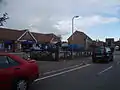 Modern centre
This article is issued from Wikipedia. The text is licensed under Creative Commons - Attribution - Sharealike. Additional terms may apply for the media files.