East Baratang Group
East Baratang Group are an island group of the Andaman Islands, located east of Baratang Island.
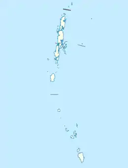 East Baratang Islands Location of Belle Island | |
| Geography | |
|---|---|
| Location | Bay of Bengal |
| Coordinates | 12.31°N 92.90°E |
| Archipelago | Andaman Islands |
| Adjacent bodies of water | Indian Ocean |
| Total islands | 20 |
| Major islands | |
| Area | 53.87 km2 (20.80 sq mi)[1] |
| Administration | |
| District | North and Middle Andaman |
| Island group | Andaman Islands |
| Island sub-group | Great Andaman |
| Taluk | Rangat Taluk |
| Demographics | |
| Population | 1074 (2011) |
| Pop. density | 20.00/km2 (51.8/sq mi) |
| Ethnic groups | Hindu, Andamanese |
| Additional information | |
| Time zone |
|
| PIN | 744203[2] |
| Telephone code | 031927 [3] |
| ISO code | IN-AN-00[4] |
| Official website | www |
| Literacy | 84.4% |
| Avg. summer temperature | 30.2 °C (86.4 °F) |
| Avg. winter temperature | 23.0 °C (73.4 °F) |
| Sex ratio | 1.2♂/♀ |
| Census Code | 35.639.0004 |
| Official Languages | Hindi, English |
Geography
The major islands in the group are Long, Strait, North Passage, Colebrooke, and Guitar.[5]
Administration
Politically, the East Baratang Islands are part of Rangat Taluk.[6]
References
- "Islandwise Area and Population - 2011 Census" (PDF). Government of Andaman.
- "A&N Islands - Pincodes". 22 September 2016. Archived from the original on 23 March 2014. Retrieved 22 September 2016.CS1 maint: bot: original URL status unknown (link)
- "STD Codes of Andaman and Nicobar". allcodesindia.in. Retrieved 23 September 2016.
- Registration Plate Numbers added to ISO Code
- visit to guitar island
- "DEMOGRAPHIC – A&N ISLANDS" (PDF). andssw1.and.nic.in. Retrieved 23 September 2016.
- Geological Survey of India
 Andaman and Nicobar Islands travel guide from Wikivoyage
This article is issued from Wikipedia. The text is licensed under Creative Commons - Attribution - Sharealike. Additional terms may apply for the media files.