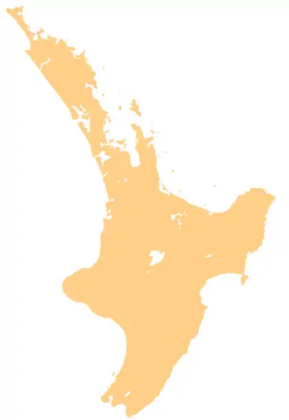
Eastbourne, New Zealand
Eastbourne is a prominent and well-to-do suburb of Lower Hutt, a part of Wellington, New Zealand. Lying languidly beside the sea, it is a popular local tourist destination via car from Petone or from ferry crossings from central Wellington. Eastbourne had a population of 4,665 people as of the 2013 New Zealand census.[1] An outer suburb, it lies on the eastern shore of Wellington Harbour, five kilometres south of the main Lower Hutt urban area and directly across the harbour from the Miramar Peninsula in Wellington city. A narrow exposed coastal road connects it with the rest of Lower Hutt via the industrial suburb of Seaview. It is named for Eastbourne in England, another seaside town known for fanciness and day-trips.
Eastbourne | |
|---|---|
 Rimu Street, the main street of Eastbourne | |
 Eastbourne | |
| Coordinates: 41°18′S 174°54′E | |
| Country | New Zealand |
| Region | Wellington Region |
| City | Lower Hutt |
| Population | |
| • Total | 4,665 (2,013) |
Known for its day-tripping, intellectual, gastronomical and natural associations, Eastbourne has some 2000 residential homes spread over the seven main small bays of Point Howard, Lowry Bay, York Bay, Māhina Bay, Days Bay, Rona Bay and Robinsons Bay. There are also two smaller bays; Sunshine Bay and Sorrento Bay.[2][3] Close to the sea and catching afternoon sun, the bays back onto steep hills, with the lower reaches having homes - many with spectacular harbour views.[4]
Higher up there is mainly native bush and trees. With a locally administered possum-eradication programme, much of the native bush has regenerated, including red-flowering northern rātā trees. The bush has numerous tracks running to and from them, including a track along the entire bays hills ridge. It also has sheltered swimming beaches that are a major attraction.[2][3] With many settlers originating from Stromboli, an island near Sicily, the suburb has an Italian heritage similar to several other suburbs in Wellington; this is expressed particularly in its architecture.[5]
History
The suburb's origins lie in pre-colonial times, with local Māori Iwi having several Kāinga and Pā in the area for hundreds of years, in the bays and the raised headlands respectively. These settlements were located in the bays north of the suburb's centre, such as Point Howard and the Lowry, Rona and Days Bays. These settlements were essential, as they blocked out invasion from the neighbouring iwi in the Wairarapa, Ngāti Kahungunu. Raids were a common affair, and forced local Māori to always be vigilant.[6]
European settlement increased after the devastating 1855 Wairarapa earthquake, because the Waiwhetu river in Seaview was lowered, along with the raising of the shore of Wellington Harbour by 2 metres. Eastbourne's Italian heritage began with the settlement of Rona Bay (originally known as Brown's Bay) by Italians Bartolo and Italia Russo 1892. Renaming it after themselves as Russo Bay, the Russos, originally from Stromboli, they established a hotel and began horticultural and fishing industries. They prompted many relatives and friends to also emigrate, propelling Eastbourne into an elaborate little Italian New Zealander stronghold.[7]
Prior to its amalgamation into Lower Hutt, the Borough of Eastbourne comprised a separate town, with its own council and civic administration. The Eastbourne Community Board, a remnant of the former town council, remains vocal on local issues. A local bus station still bears the "Borough of Eastbourne" name.
Culture and features today
Eastbourne's culture involves its laid-back, sunny atmosphere, small restaurants, heritage homes and remoteness that invokes a curiosity among other Wellingtonians, who have flocked here for summer day trips since the 19th century.[8]
A regular trans-harbour ferry service connects Wellington and Eastbourne, docking at the Days Bay wharf in Eastbourne and at Queen's Wharf close to down-town Wellington.
Eastbourne has three local primary schools: Muritai School, San Antonio School and (in Days Bay) Wellesley College.
At the end of Eastbourne beyond Burdan's gate there is a pedestrian-only coastal road (unsealed) which extends out to the Wellington Harbour entrance heads, where there are three lighthouses. This area, popular with cyclists, provides access to East Harbour Regional Park.

The hills surrounding Eastbourne provide important habitat for indigenous biodiversity and contain some of New Zealand's rarest and most-endangered plant species.[9]
Gallery
 Rata Street. Classic cars such as these were often built nearby, at Seaview.
 Muritai Street.
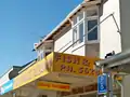 Golden Palace Takeaway, Rimu Street
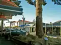 Rimu Street, Eastbourne. Note the prominent Norfolk Pines.
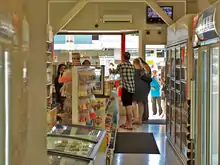
 The local Four Square.
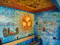 Bus Stop with colourful murals, typical in New Zealand
 Fire Station
Education
Muritai School is a co-educational state primary school for Year 1 to 8 students,[10][11] with a roll of 380 as of March 2020.[12]
San Antonio School is a co-educational state-integrated Catholic primary school for Year 1 to 8 students,[13][14] with a roll of 31.[15]
See also
- Eastbourne, East Sussex, United Kingdom
- Eastbourne (disambiguation)
References
- 2013 Census QuickStats about a place : Eastbourne
- Beaglehole, A., & Carew, A. (2001). Eastbourne: a history of the eastern bays of Wellington Harbour Eastbourne, NZ: Historical Society of Eastbourne. ISBN 0-473-07966-6
- Paterson, Ann (1983). Stories of York Bay: a community effort. ISBN 0-473-00106-3
- Boyack, Nicholas (8 December 2017). "Landmark Eastbourne home could be yours for $1.45 million". stuff.co.nz.
- Taonga, New Zealand Ministry for Culture and Heritage Te Manatu. "Italian fishermen". teara.govt.nz. Retrieved 2020-11-29.
- Taonga, New Zealand Ministry for Culture and Heritage Te Manatu. "Eastbourne". teara.govt.nz. Retrieved 2020-11-29.
- Taonga, New Zealand Ministry for Culture and Heritage Te Manatu. "Eastbourne". teara.govt.nz. Retrieved 2020-11-29.
- "Eastbourne and Days Bay". www.huttvalleynz.com. Retrieved 2020-11-29.
- Sawyer, John (2005). Native plants of the Eastbourne hills : status and conservation management (PDF). Wellington, N.Z.: Department of Conservation. p. 4. ISBN 0-478-22676-4. Retrieved 1 June 2016.
- "Muritai School Official School Website". muritai.school.nz.
- "Muritai School Education Review Office Report". ero.govt.nz. Education Review Office.
- "Muritai School Ministry of Education School Profile". educationcounts.govt.nz. Ministry of Education.
- "San Antonio School Official School Website". sanantonio.school.nz.
- "San Antonio School Education Review Office Report". ero.govt.nz. Education Review Office.
- "San Antonio School Ministry of Education School Profile". educationcounts.govt.nz. Ministry of Education.