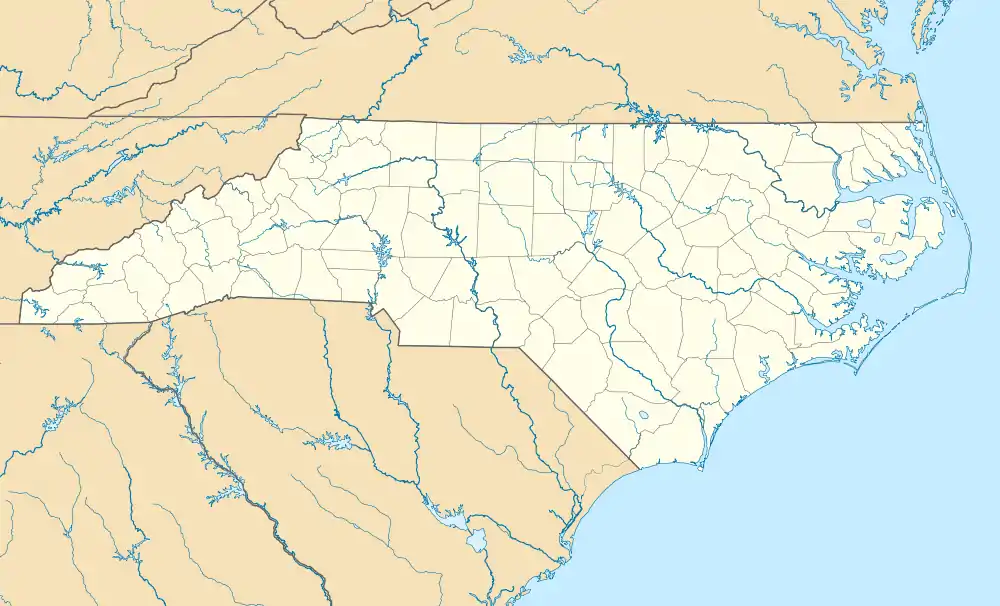
Estatoe, North Carolina
Estatoe is an unincorporated community in Mitchell County, North Carolina, United States. It is located where Brushy Creek crosses U.S. Route 19E (US 19E), west of Spruce Pine.
Estatoe, North Carolina | |
|---|---|
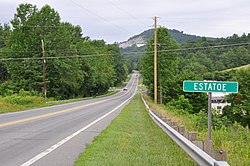 Estatoe sign, facing northbound US 19E. | |
 Estatoe  Estatoe | |
| Coordinates: 35°54′12″N 82°07′10″W | |
| Country | United States |
| State | North Carolina |
| County | Mitchell |
| Named for | The daughter of an Indian chief[1] |
| Elevation | 2,634 ft (803 m) |
| Time zone | UTC-5 (Eastern (EST)) |
| • Summer (DST) | UTC-4 (EDT) |
| ZIP code | 28777[2] |
| Area code(s) | 828 |
| GNIS feature ID | 1020171[3] |
History
The name Estatoe, pronounced 'S - ta - toe', comes from a story about an Indian chief's daughter named Estatoe who fell in love with a warrior of a rival tribe. Because their love could never be accepted by either's families, they jumped from a precipice into the depths of a nearby river. Estatoe's father declared the river would forever bear her name, as does the community, although the river's has since been shorten to "Toe."[4][5]
The Estatoe Post Office operated from 1888 to 1951, when it was replaced with rural letter carrier service from Spruce Pine.[6][7]
References
- "North Carolina Gazetteer". Retrieved December 27, 2020.
- "Mitchell County - North Carolina Zip Code Boundary Map (NC)". USNaviguide, LLC. Retrieved December 27, 2020.
- "Estatoe, North Carolina". Geographic Names Information System. United States Geological Survey. Retrieved December 27, 2020.
- "Estatoe". Mitchell County Historical Society. January 20, 2019. Retrieved December 27, 2020.
- "The Tale of the Toe". Mitchell County Historical Society. October 17, 2016. Retrieved December 27, 2020.
- "Display Post Offices by County". United States Postal Service. Retrieved December 28, 2020.
- "USPS Carrier Route Maps". Melissa Lookups. Retrieved December 28, 2020.
External links
 Media related to Estatoe, North Carolina at Wikimedia Commons
Municipalities and communities of Mitchell County, North Carolina, United States | ||
|---|---|---|
| Towns | 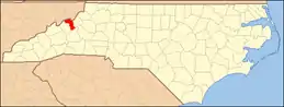 Mitchell County map | |
| Unincorporated communities |
| |
| Footnotes | ‡This populated place also has portions in an adjacent county or counties | |
| ||
This article is issued from Wikipedia. The text is licensed under Creative Commons - Attribution - Sharealike. Additional terms may apply for the media files.