Fakfak Mountains
Fakfak Mountains (Indonesian: Pegunungan Fakfak) are located on Bomberai Peninsula to the north of Fakfak in West Papua province, Indonesia.
| Fakfak Mountains | |
|---|---|
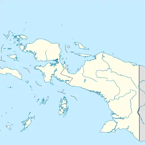 Location in Western New Guinea 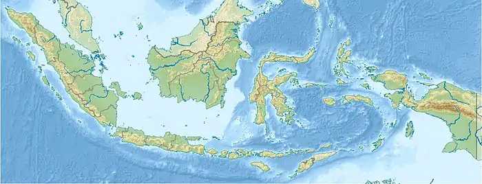 Location in Indonesia | |
| Highest point | |
| Peak | 1619 [1] |
| Dimensions | |
| Length | 106 km (66 mi) |
| Geography | |
| State | Indonesia |
| Range coordinates | 2.860063°S 132.532196°E |
| Parent range | Island of New Guinea |
Geography
Topography includes the following top elevations in Fakfak Mountains:
- Baham at 613 m (coordinates 3.0719 ° S 132.6935 ° E )
- Gunung Weri at 537 m (coordinates 3.2098 ° S 132.7128 ° E )
- Patimun at 499 m (coordinates 3.0444 ° S 132.5228 ° E )
- Samai at 980 m (coordinates 3.1118 ° S 132.6206 ° E )
Flora and fauna
Fauna of the Fakfak Mountains includes the black-eared catbird and Oninia senglaubi, a member of the family of the narrow-mouthed frogs (Microhylidae).[2]
Bird species recorded at FakFak Mountains:
Climate
Tropical rainforest climate prevails in the area. The annual average temperature in the funnel is 20 °C. The hottest month is November, when the average temperature is 21 °C, and the coldest is June, with 18 °C. The average annual rainfall is 3 217 millimeters. The rainy month is June, with an average of 438 mm rainfall, and the driest is October, with 167 mm rainfall.
References
- Onin Peninsula (Fakfak)
- Darrel R. Frost: Oninia senglaubi. Amphibian Species of the World, an Online Reference, Version 6.0. American Museum of Natural History, New York 1998–2015, abgerufen am 21. Dezember 2015
- FakFak Mountains, Papua
- Collar, N. "Fairy Lorikeet (Charmosyna pulchella)". Handbook of the Birds of the World Alive. Lynx Edicions. Retrieved 2014-09-24.